


People - Faculty - Monika Moskal
Monika Moskal
Assistant Professor of Remote Sensing & Biospatial Analysis, College of Forest Resources
Education:
Ph.D. University of Kansas 2005
Research Interests:
- Remote sensing & GIS applications for deriving forest structure & it's applications to forest inventory, watershed management, wildlife habitat, biodiversity, carbon sequestration, biomass mapping & conversion.
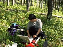
- Advanced forest inventory techniques using high spatial resolution optical remote sensing imagery, LiDAR (light detection & ranging) & radar.
- Remote sensing data fusion with automated multiscale object delineation & feature extraction.
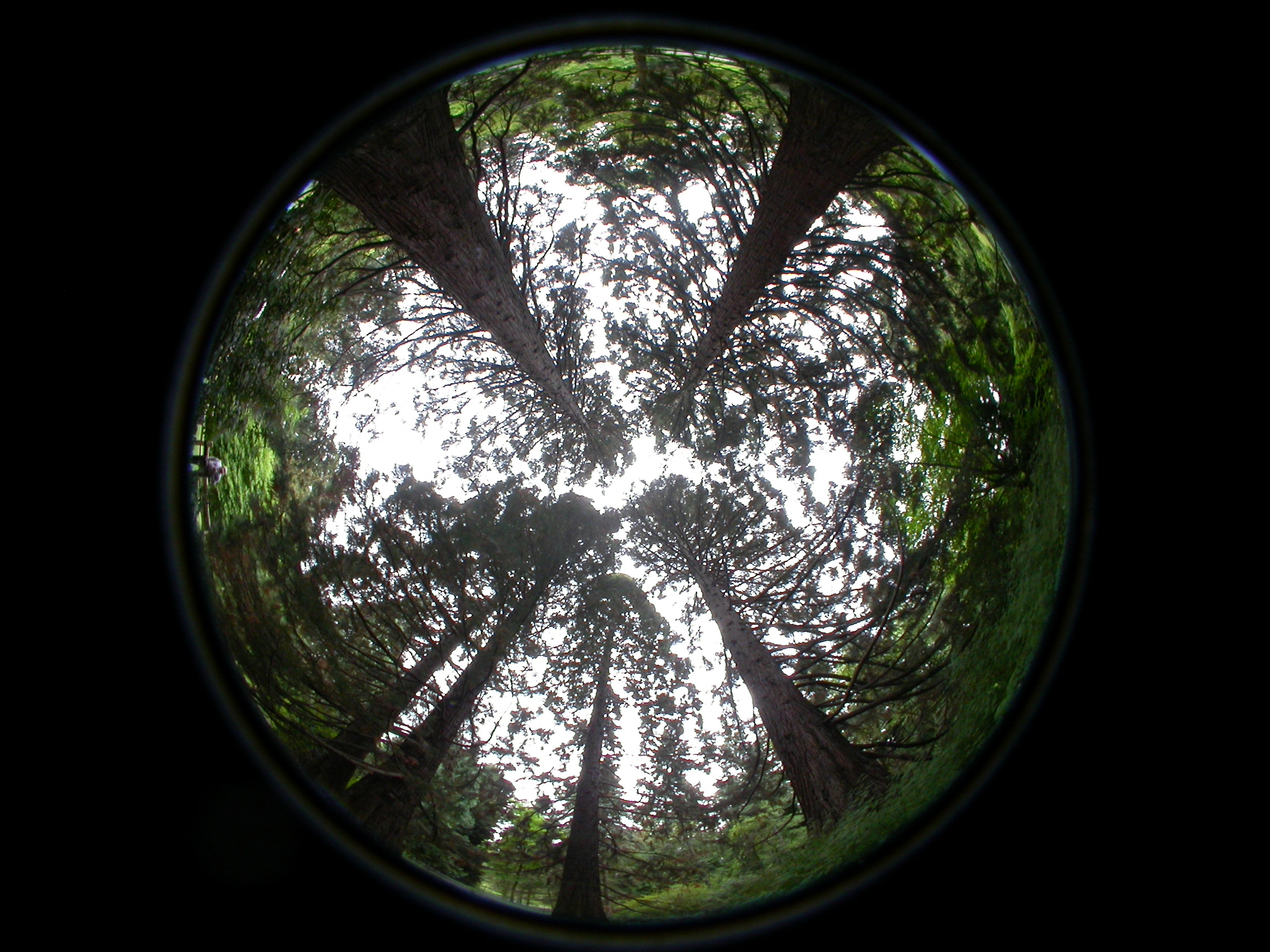
- Computer geovisualization (stereo visualization), forest cover visualization.
- Hypertemporal remote sensing for sustainable forestry indicators, policy & management.
- Post fire regeneration.
- Detection of damaging agents in forests (hyperspectral).
Selected Publications:
Moskal, L. M., T. Erdody, A. Kato, J. Richardson, G. Zheng and D. Briggs, 2009. Aerial and Terrestrial LiDAR Applications in Precision Forestry, SilviLaser2009 Conference Proceedings, Collage Station, TX.
Erdody T. and L. M. Moskal, 2009. Fusion of LiDAR and Imagery for Estimating Forest Canopy Fuels, Remote Sensing of Environment; (in press).
Kato, A. Moskal L.M., Schiess, P. Swanson, M., Calhoun, D. and W. Stuetzle, 2009. Capturing Tree Crown Formation through Implicit Surface Reconstruction using Airborne LiDAR Data, Remote Sensing of Environment, 113(6); 1148-1162.
Zheng G., Moskal L.M, 2009. Retrieving Leaf Area Index (LAI) Using Remote Sensing: Theories, Methods and Sensors. Sensors, 9(4):2719-2745.
Richardson, J., Moskal, L. M. and S. Kim, 2009. Modeling Approaches to Estimate Effective Leaf Area Index from Aerial Discrete-Return LiDAR, Agricultural and Forest Meteorology 149, 1152-1160.
Moskal, L.M. & S.E. Franklin, 2004. Airborne multispectral image texture for classification of aspen defoliation, International Journal of Remote Sensing, 25:14; 2710-2711.
Moskal, L.M., M.D. Dunbar, M.E. Jakubauskas, 2004. Visualizing the forest: a forest inventory characterization in the Yellowstone National Park based on geostatistical models, in A Message From the Tatras: Geographical Information Systems & Remote Sensing in Mountain Environmental Research, Widacki,. W., Bytnerowicz, A. & Riebau, A. (eds). Institute of Geography & Spatial Management of the Jagiellonian University in Krakow & the USDA Forest Service: 219-232.
Moskal, L.M. & S.E. Franklin, 2002. Multistory forest stand discrimination with multiscale texture from high spatial detail airborne imagery, Geocarto International, 17(4); 53-66.
Franklin, S.E., E.E. Dickson, D.M. Farr, M.J. Hansen & L.M. Moskal, 2000. Quantification of landscape structure using maps developed by satellite remote sensing, Forestry Chronicle, 76(6): 877-886.
Franklin, S.E., R.J. Hall, L.M. Moskal, A.J. Maudie & M.B. Lavigne, 2000. Incorporating texture into classification of forest species composition from airborne multispectral images, International Journal of Remote Sensing, 21(1): 61-79.
Related Links:
Monika's Homepage: http://faculty.washington.edu/lmmoskal/
Remote Sensing and Geospatial Analysis Laboratory: http://depts.washington.edu/rsgal/