|
|
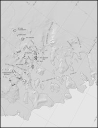
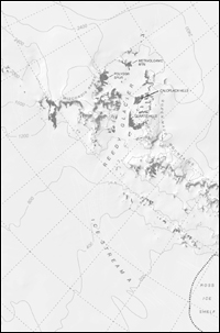
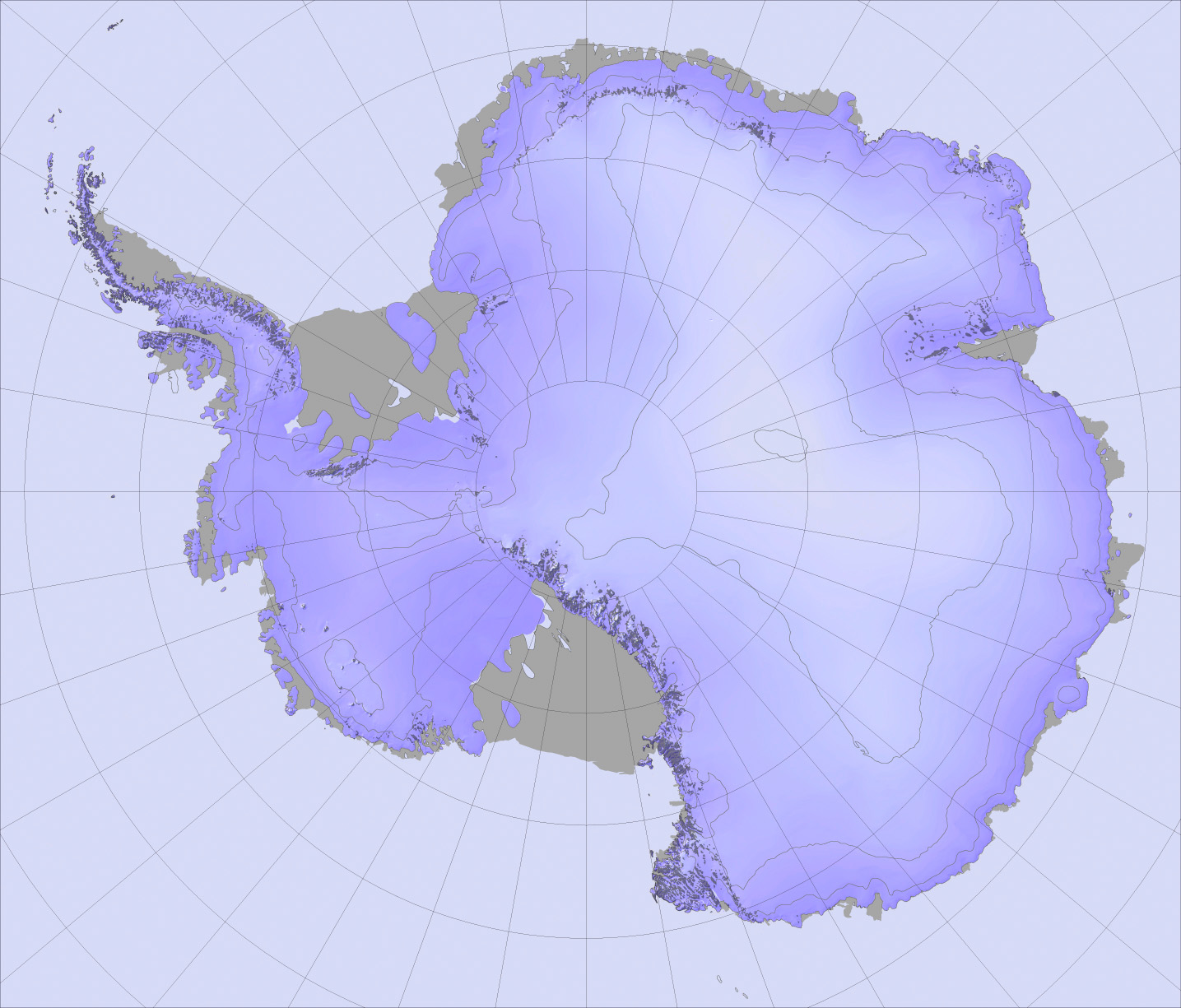
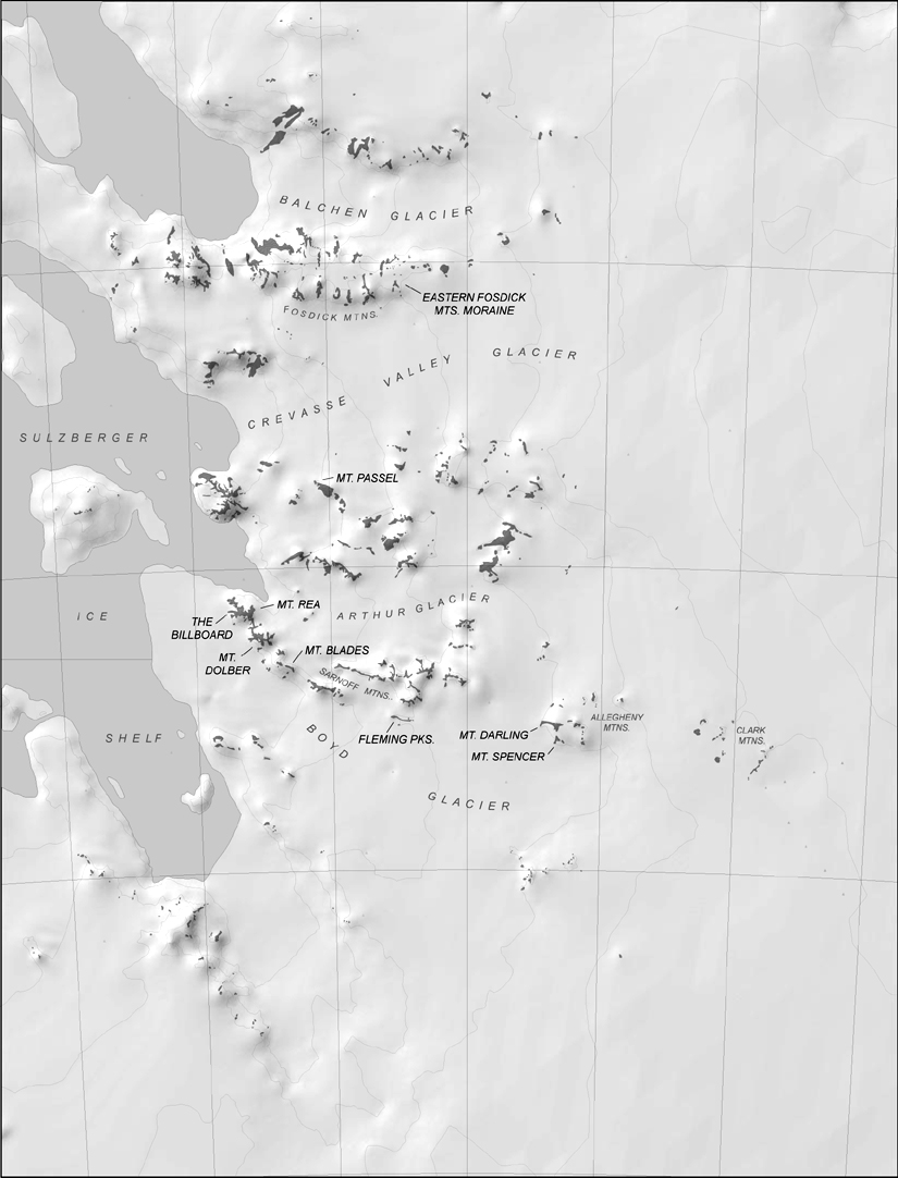
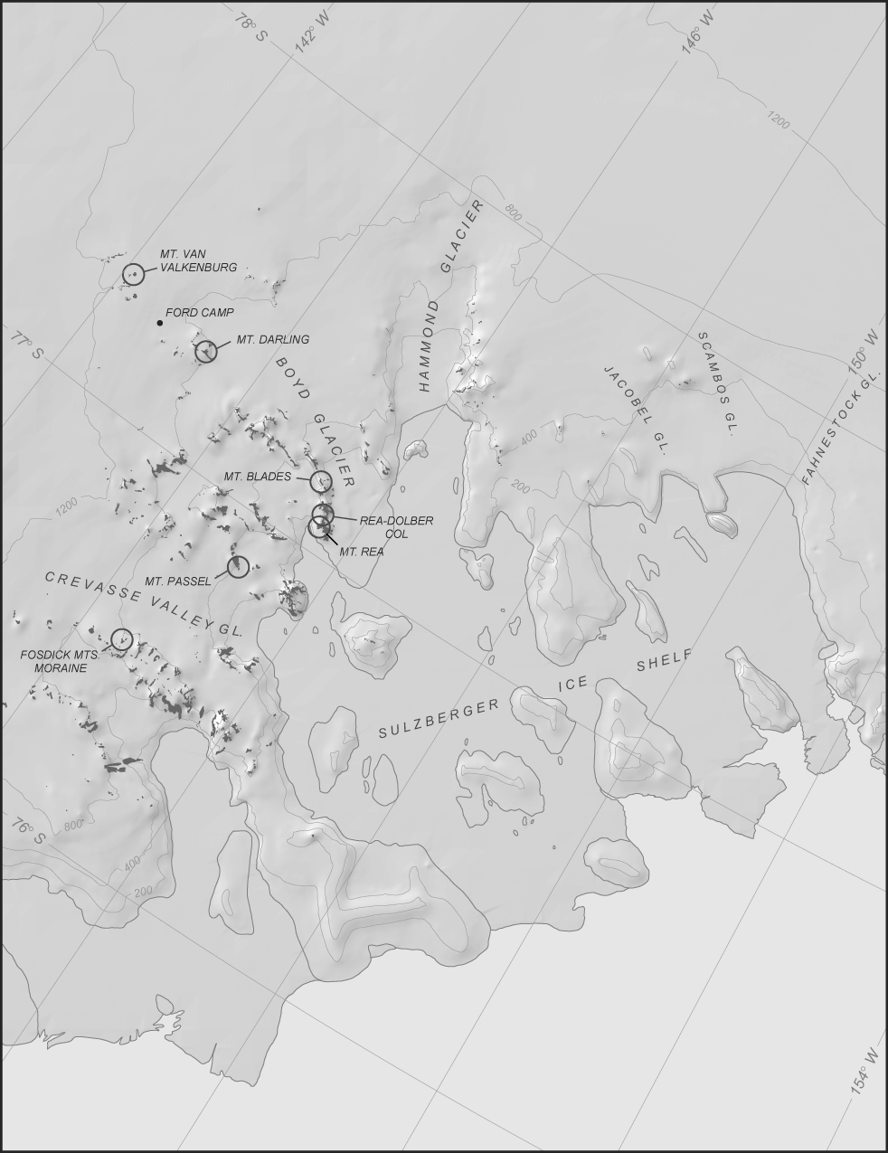
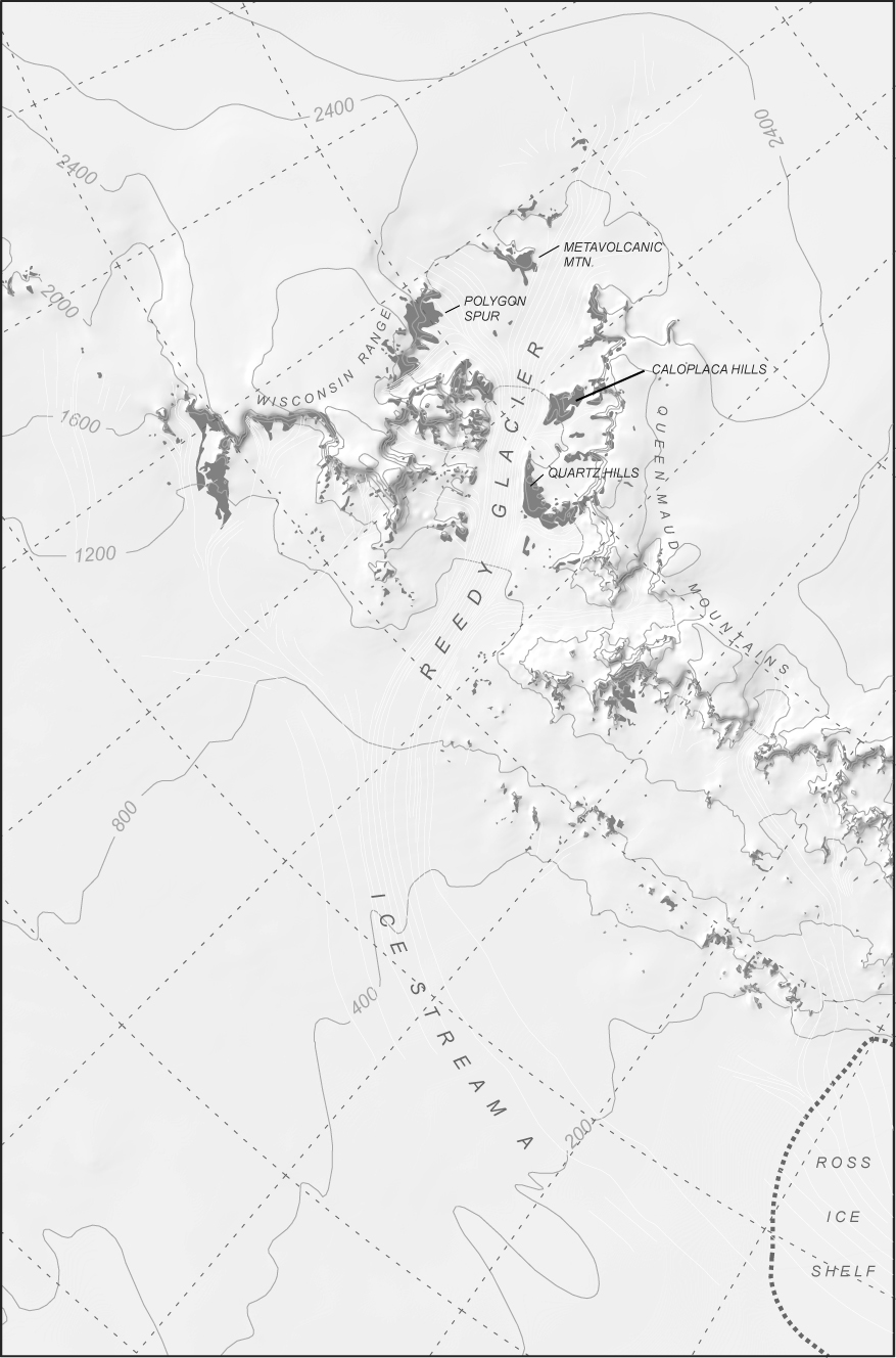
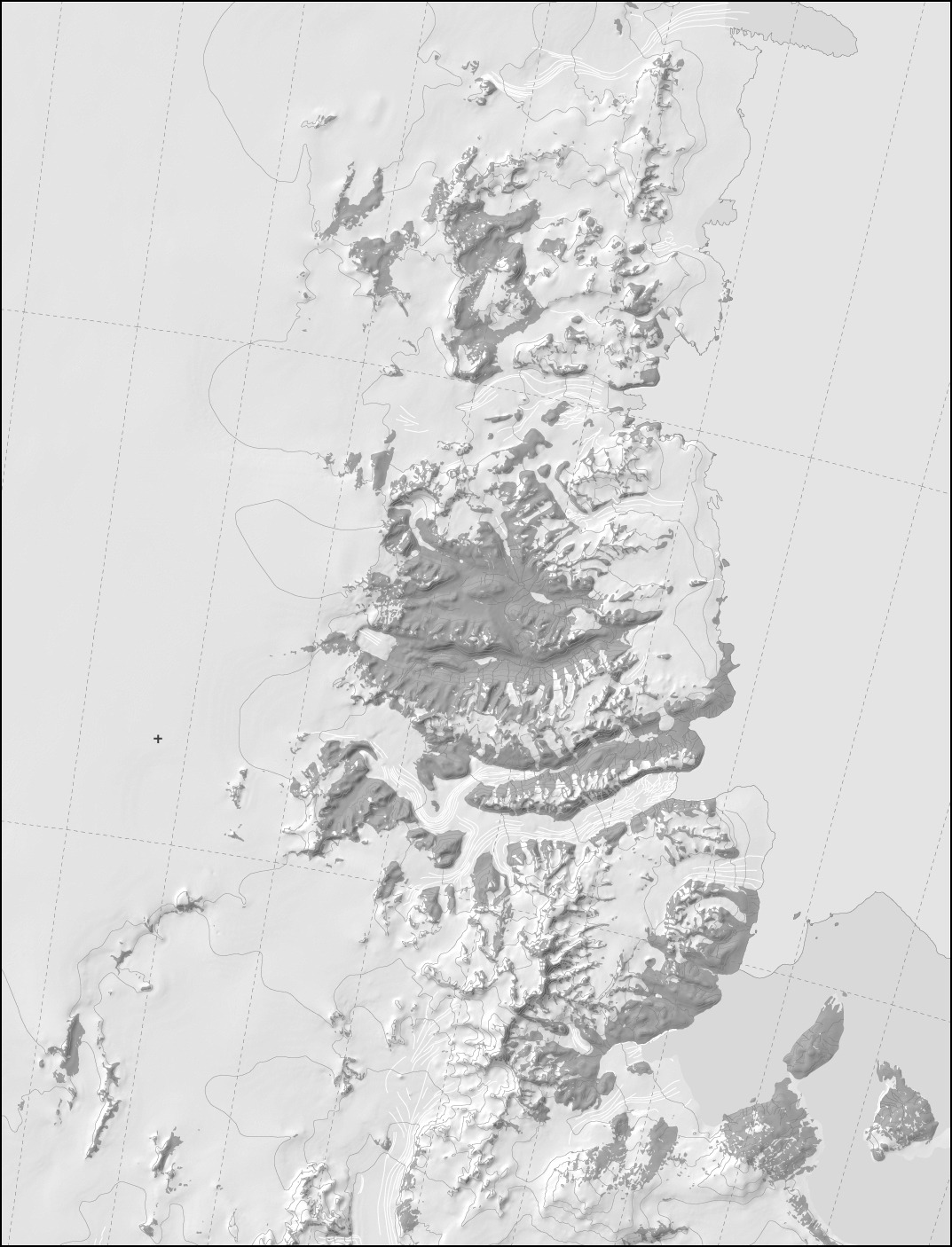
Digital maps of Antarctica
What these are:
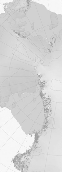
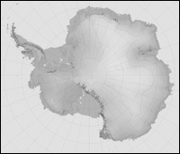
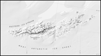
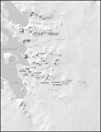
This page provides access to digital maps of Antarctica generated from the Antarctic Digital Database (ADD). The ADD consists of digital raster representations of various geographic features in Antarctica, is maintained by the British Antarctic Survey, and is available at:
http://www.add.scar.org/
The ADD is maintained in ARC/Info native format which is not easily compatible with producing images for print or publication. In the course of various Antarctic research projects in the past several years, we have used the ADD to prepare publication- and presentation-friendly maps and images in .jpeg and Adobe Illustrator formats. The Illustrator files are fully editable and contain separate layers for distinct types of geographic features. As we have had many requests for these files, we have put them online on this page. The maps available here are far from comprehensive, contain errors and omissions, and cover only regions in which we have recently done research. In future, we will continue to make available maps which we produce in the context of other research projects. We cannot entertain requests to custom-produce Illustrator files of other regions of Antarctica.
Attribution: These maps were produced by Greg Balco at the University of Washington, in the course of projects funded by the U.S. National Science Foundation , using data from the Antarctic Digital Database and the Radarsat Antarctic Mapping Project (RAMP) Digital Elevation Model. IF YOU USE THESE MAPS FOR PUBLICATION OR FOR PUBLIC PRESENTATIONS YOU MUST SO ATTRIBUTE THEM.
|
 |
|

