
![]()
![]()
![]()
|
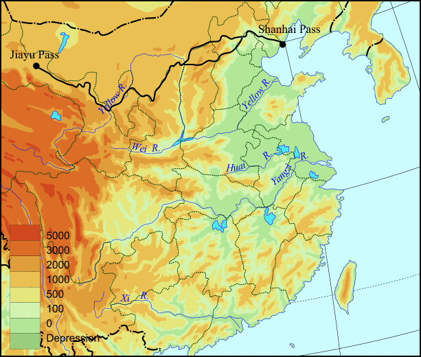
Ancient Chinese started building fortifications as early as the eighth century BCE to help in their military efforts against the nomads to the north. The first emperor of the Qin dynasty (221-206 BCE) connected the existing walls into a single system, known as the Great Wall. The Great Wall was periodically rebuilt, with most of the current wall dating to the Ming dynasty (1368-1644). The Great Wall extends about 7,300 kilometers (4,500 miles) from the Shanhai Pass on the east coast to the Jiayu Pass in modern Gansu province. |
||
|
|
||
The path of the Great Wall, from Jiayu Pass to Shanhai Pass |
||
|
Which do you think proved more difficult, the Wall's construction and maintenance or the stationing of troops along it? |
||
|
||
|
|
||
|
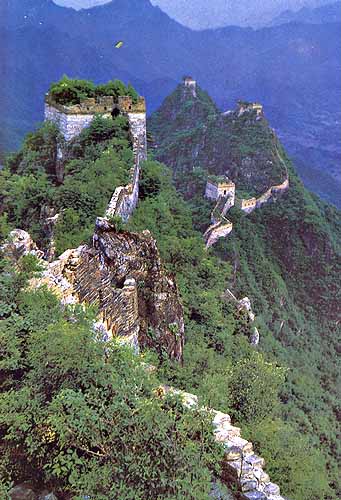
Below are two pictures of the Great Wall, one showing a section in decay and the other one undergoing renovation to encourage tourism. How effective do you think this kind of fortification would have been in pre-modern times? What do you imagine would have been the most efficient means of communication along the Great Wall in times of war? |
||
|
|
|
|
|
||
|
|
||
|
||
|
Move back to China Proper
|
||
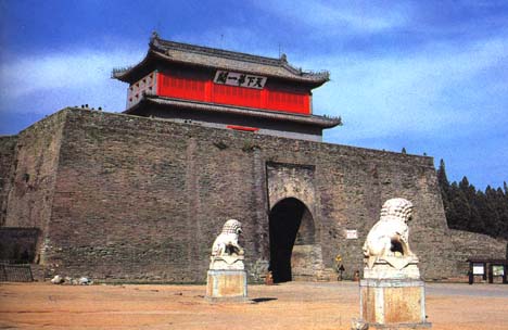 To
the left is a picture of the Shanhai Pass (which means "the pass
where the mountains meet the sea"). It is the eastern-most point of
the Great Wall.
To
the left is a picture of the Shanhai Pass (which means "the pass
where the mountains meet the sea"). It is the eastern-most point of
the Great Wall.

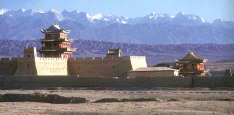 The picture to the left shows the Jiayu Pass in
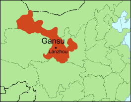