![]()
![]()
Map courtesy of the Columbia River Estuarine Study Taskforce; US Dept. of Commerce document publication NOAA CSC/1-97/001
The map above shows habitats of the Columbia River Estuary. The original data was processed during the Columbia River Estuary Data Development Program (CREDDP) in the early 1980's.
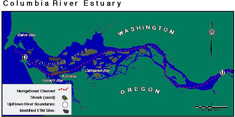
(Modified from figure by Blake Feist)
![]()