
-
December 06, 2021
Incorporating Ride-Sourcing Service into ADA Paratransit
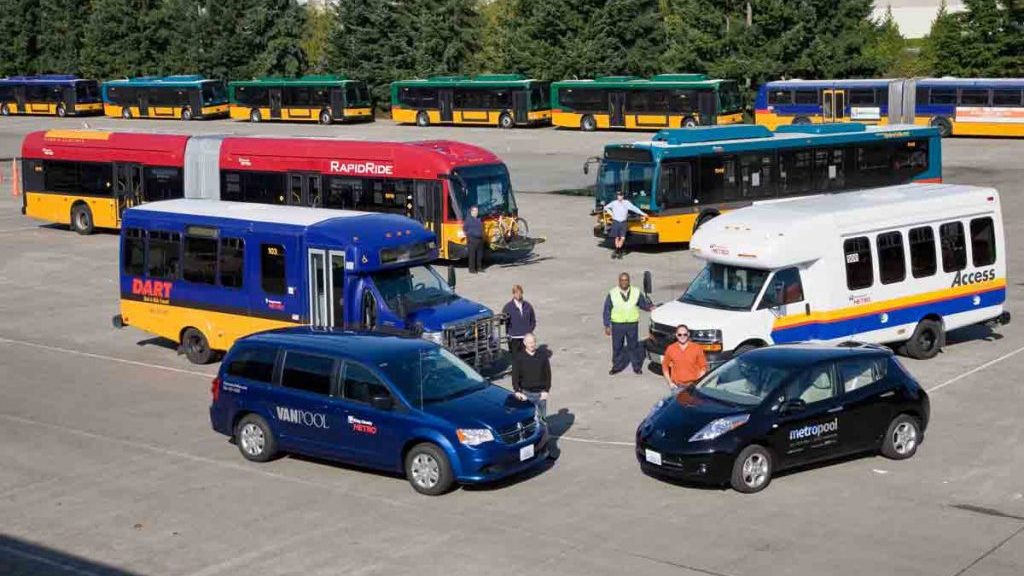
This web post summarizes a technology transfer project co-funded by PacTrans and King County Metro Transit on leveraging ride-sourcing services a part of ADA paratransit. In early December 2021, PacTrans PI and Professor of Urban Design and Planning at the University of Washington, Qing Shen, and a Graduate Research Assistant in the Interdisciplinary PhD Program in Urban Design and Planning at the University of Washington, Lamis Ashour, delivered a webinar titled, Incorporating Ride-Sourcing Service into ADA Paratransit: Opportunities and Challenges for Public Transit Agencies.
Here they presented finding for an initial research study that was a collaborative effort with partners at King County Metro. After the presentation concluded, they were joined by collaborators: Don Okazaki, Community Access Program Administrator, Matthew Weidner, Senior Planning, Jeremy Trenhaile, Program Manager, and Casey Gifford, Innovative Mobility Senior Planner, for an extended Q&A/discussion time. Here is the recording of that webinar:
The slide deck from the presentation can be found here.
Technical Course on TNC-Paratransit Partnership: Measuring Divertible Trips using ArcGIS
Subsequently, the research team developed a self-guided technical course that walks through the analysis done during the research. You are encouraged to review the slide deck and utilize the videos to learn, step-by-step, how to conduct this analysis yourself.
The slide deck for the self-guided technical course can be found here.
The recorded tutorial videos are as follows:
Title: Introduction to a PacTrans technical course about measuring ADA paratransit trips that are divertible to TNCs using ArcGIS
Description: This technical course provides a step-by-step analysis to find out ADA paratransit trips that can be operated by Transportation Network Companies TNCs, taking into consideration trip distance, schedules time, mobility assistance, and operational efficiency. This course includes different tools and operations in ArcGIS (ArcMap 10.7) including select by attribute, boolean algebra, spatial joins, and optimized hotspot analysis.
Title: Using ArcGIS to select trips that meet the distance criteria, create new fields and measure their value.
Description: This tutorial will teach you how to use ArcMap to select paratransit trip points that are 10 miles or less, create a new field, and assign the value (1) to trips that meet the criteria, and (0) for those that are larger than 10 miles.
Title: Using ArcGIS to select ADA trips that meet distance-time criteria for TNC diversion (boolean algebra and select by attribute).
Description: This tutorial will teach you how to use ArcMap to select paratransit trip points that meet certain criteria. In this case, we are going to select trips that are 10 miles or less during off-peak hours and 5 miles or less during peak hours.
Title: Using ArcGIS to join trip data points to census block groups (spatial join).
Description: This tutorial will teach you how to use ArcMap to spatially join point data (source layer) which represents paratransit trips into block groups polygons (target feature) using spatial join tool.
Title: Using ArcGIS to analyze spatial clusters of high-efficiency areas for ADA paratransit using GI optimized hot spot analysis.
Description: This tutorial will teach you how to use GI optimized hot spot analysis tool in ArcGIS to find statistically significant clusters of high efficiency areas and low efficiency areas for ADA paratransit, before and after trip diversion to TNCs.
If you have any questions or concerns about this work, you can email us at pactrans@uw.edu, or the PI directly at qs@uw.edu (Qing Shen).
In 2010, Alaska ranked 50 out of 51 for highway traffic fatalities, with 56 fatal traffic deaths.
Source: U.S. Dept. of Transportation, Research and Innovative Technology Administration, Bureau of Transportation Statistics
