PacTrans News
-
February 8, 2016
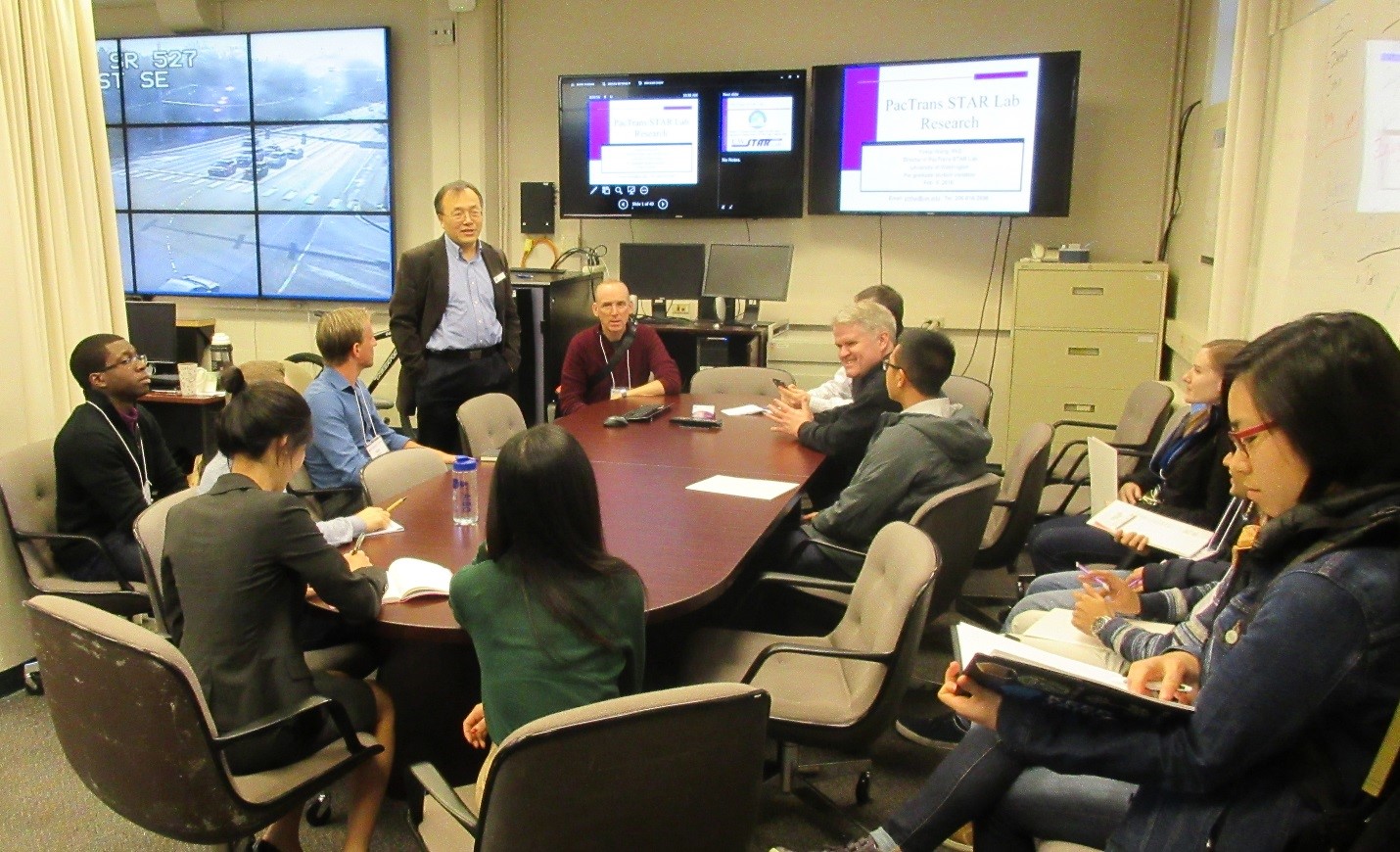
Prospective Graduate Transportation Engineering Students Meet with PacTrans and STAR Lab

Last week Friday, February 5, 2016 a group of about twenty prospective graduate transportation engineering students camp to the University of Washington to see the campus, the department, the labs, and meet with the faculty. Read More
-
February 5, 2016
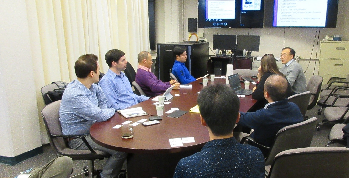
INRIX Interested in PacTrans STAR Lab DriveNET Platform for Big Data Analysis
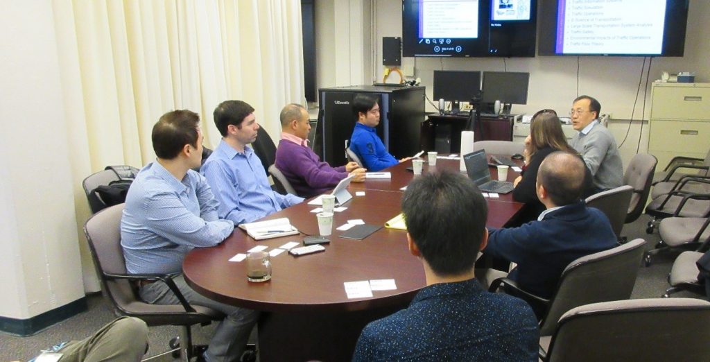
Last week Monday, January 25th, Dr. Yinhai Wang, along with several other PacTrans and STAR Lab researchers met with a group from INRIX. Read More
-
February 5, 2016
PacTrans’ Dr. Yinhai Wang supports ITS and Transportation Technology at WA House Transportation Committee Workshop
PacTrans director, Dr. Yinhai Wang, joined John Toone, IT Project Manager at King County Metro, and Tim Streck, Director of Channel Development with INRIX, last week Wednesday, January 27th at a Washington State House of Representatives Transportation Committee Workshop. Read More
-
February 3, 2016
Summer Internship Opportunities with King County Metro
Are you a graduate-level college student interested in transportation? Are you looking for an exciting opportunity to gain some real world experience, and a paycheck, this summer? If you answered yes then this post is for you…
King County Metro has just announced that it will be hiring four interns in transportation planning and market development. These positions will start at the end of spring quarter. Applications are due February 23rd by 8:00 pm.
If your are interested in learning more and want to know where and how to apply, click here.
-
February 3, 2016
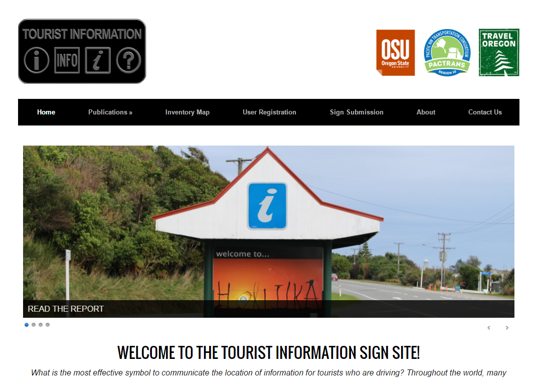
Tech Transfer #5: Interactive Tourist Information Sign Website – COMPLETED!
Last month we posted all of the success story projects that PacTrans gave additional funding for technology transfer.
Success Story #5 involved the study of traffic sign understandability. The tech transfer funding given was for two purposes: (1) to provide a mechanism for sharing the literature review, experimental methods, results, and findings of the project; and (2) to provide an interactive interface that will enable users from around the world to populate a geospatial database with images and descriptions of information signs in different contexts. For both of these components a website was to be created. We are excited to announce that that website has been completed!
Check it out by clicking the link below: