

Jeffrey Richardson
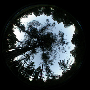
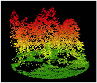
Example of LiDAR Point Cloud
People - Students - Cohort 1 - Jeffrey Richardson
Jeffrey Richardson
Education: BA, Biology and English 2003 Kalamazoo
College; MS, Forest Resources, University of Washington, 2008
Major: Forest Resources
Advisor: L. Monika Moskal
Title of Research Project: Estimating small diameter wood
biomass in East Cascade forests discrete-return LiDAR Context of Research
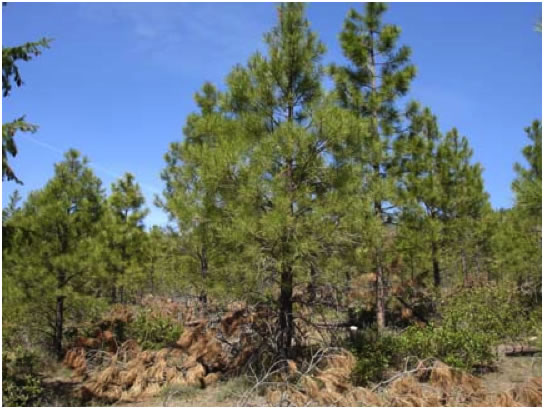
Reliance on fossil fuels for energy has created a need to examine alternative energy sources. One such source is small-diameter wood (wood that is too small for most commercial timber uses) found in water limited forests east of the Cascades. These forest types cover much of eastern Washington, and are also found on the Yakama and Colville Indian Reservations. A contributing factor to this research is the high fire risk these forests pose due to a century of fire suppression policy. Therefore, thinning these forests may produce a dual benefit in the form of reduced fire risk and as a source of bioresource-based energy. There are multiple tradeoffs associated with thinning these forests, ranging from decreased soil carbon stocks to increased risk of invasive species spread, many of which can be examined using life cycle analysis techniques, but any such analysis must begin with a thorough inventory of the biomass on the ground. I will be using Light Detection and Ranging (LiDAR) to remotely sense forest biomass. LiDAR works by integrating a Global Positioning System (GPS) with a scanning laser mounted to an airplane or helicopter. The laser sends a pulse of light into the environment, and a sensor captures the reflection of that pulse, calculates the time difference between when the pulse was sent and when it was received, and uses the GPS position to produce a three dimensional point of features on the ground. By pulsing at very high frequencies, a detailed point image of the ground can be formed.
LiDAR is a technology that has rapidly been applied to forest inventory application in the last ten years [1], and while it has already been demonstrated to be capable of producing biomass estimates for larger diameter trees [2, 3], the ability of LiDAR to estimate smaller diameter trees is not well understood.
Research Plan
- Obtain raw LiDAR data flown over Ahtanum State Forest, Colville National Forest, and the Colville Indian Reservation
- Establish research plots at locations within the boundary of the LiDAR data acq LiDAR uisition
- Record height, diameter, and species of all trees and understory shrubs within each plot
- Use field plots to produce estimates of biomass, separating biomass estimates into different classes (eg: < 10 cm diameter)
- Develop a model to estimate biomass from LiDAR datasets
- Assess the accuracy of the model using field research plots
- Produce a map of biomass using the LiDAR data and developed model
Broader impacts of research: The biomass map created can be used by other members of the IGERT team as a source of information for mass and energy balance calculations. These calculations could pinpoint specific areas within the forests that are better suited for thinning, or be used as a part of a life cycle analysis looking at the entire system. In addition, this research will help to show where limitations exist in the utility of LiDAR as a source of biomass information. Future research may use terrestrial LiDAR to gain additional information on biomass and general forest ecology.
References
1. Lefsky, M.A., et al., Lidar remote sensing for ecosystem studies. Bioscience, 2002. 52(1): p. 19-30.
2. Popescu, S.C., Estimating biomass of individual pine trees using airborne lidar. Biomass & Bioenergy, 2007. 31(9): p. 646-655.
3. Chen, Q., et al., Estimating basal area and stem volume for individual
trees from lidar data. Photogrammetric Engineering and Remote Sensing,
2007. 73(12): p. 1355-1365.