|
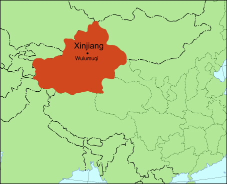
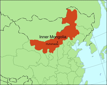
Outer China is the huge area to the north and west of China Proper. It ranges from 1,000 to 5,000 meters above sea level. The zone includes part of Northeast China (also known as Manchuria), Xinjiang, Inner Mongolia, the Yunnan-Guizhou Plateau, part of the Loess Plateau, and a stretch of mountains. |
||
|
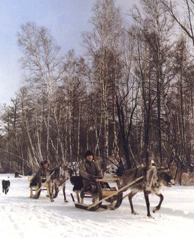
Among the domesticated animals in the Northeast are reindeer. |
||
|
||
|
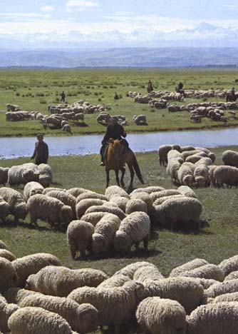
North of China Proper, the Inner Mongolian Plateau is a combination of prairie, mountain, and desert, much of it suitable for raising sheep. |
||
|
||
|
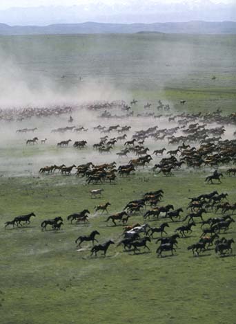
The Yili area of Xinjiang province is famous for its horses. |
||
|
||
|
Northwestern China has extremely dry weather, which is good for growing such fruit as melons and grapes. |
||
|
|
||
|
||
|
To the left is a picture of the Yunnan-Guizhou Plateau in the southwest.
Considering the sharp elevation, why do you think people went to such great effort to terrace the land? |
||
|
|
|
|
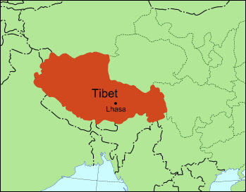
The Tibetan Plateau in Southwest China occupies about one-fourth of the land area of the PRC. It is composed of high and super-high mountains and massive highlands, averaging between 4,000 and 5,000 meters (13,000 to 15,000 feet) above the sea level. |
||
|
||
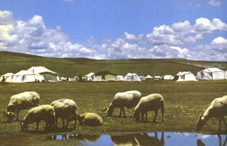
People on the Tibetan Plateau live mostly in the river valleys.
In the summer, herders move their tents to new pastures. |
||
|
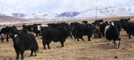
Yaks, depicted here, provide both milk used for butter and cheese and wool used for felt. |
||
|
||
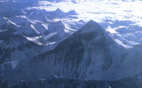
The highest point along the Tibetan Plateau, Mount Everest (known in Chinese as Mount Zhumulangma) is also the highest mountain in the world. It is located on the Sino-Nepalese border and rises 8,848 meters (29,028 feet) above sea level. |
||
|
|
||
|
||
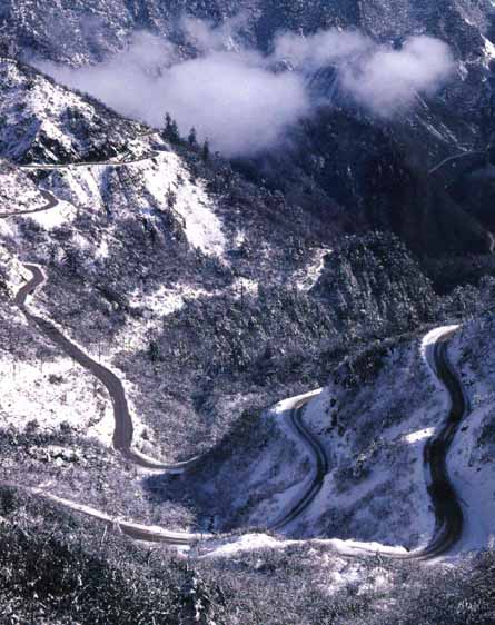
Called the "roof of the world," the Himalayan Mountains along the Tibetan Plateau pose a great challenge to transportation and communication.
Why would it be worth building highways like this to link Tibet to the rest of China? |
||
|
||
Move on to People |
||
|
|
||

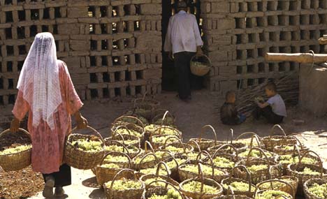 To the
right is a picture of ethnic Uighurs in Xinjiang province making raisins.
To the
right is a picture of ethnic Uighurs in Xinjiang province making raisins.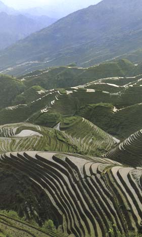
