![]()
![]()
Columbia - Fraser River Cruise
The Fraser River drains a large portion of western British Columbia, and, while it experiences heavy ship traffic and considerable industrial and urban impacts, there are no dams controlling river flow. In June/July 1999, we will participate in research cruises on both the Columbia and Fraser Rivers in order to compare the ETMs relative to the effects of riverine flow control. We will investigate the Columbia and Fraser ETM sites within 4 weeks of each other during comparable tidal cycles under our standard sampling protocols.
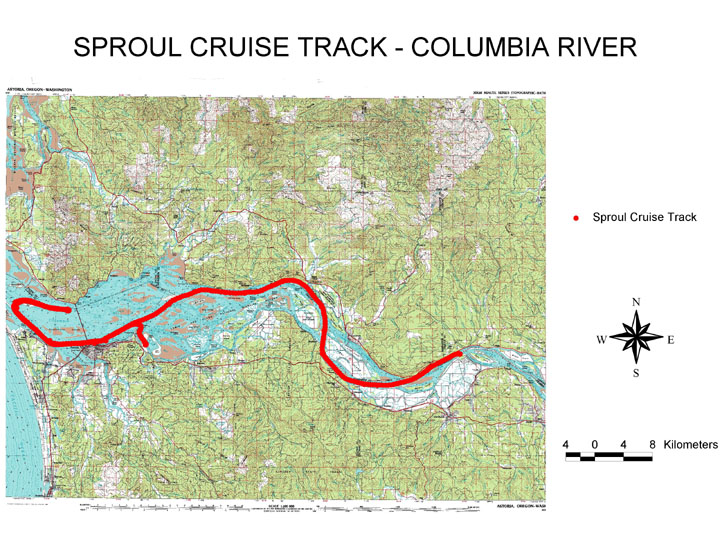
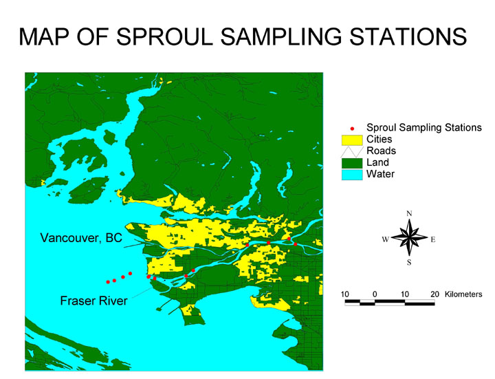
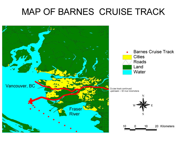
![]() Cruise Tracks (mapping by Jason Toft, Wetland Ecosystem Team)
Cruise Tracks (mapping by Jason Toft, Wetland Ecosystem Team)
R.G. Sproul on the Columbia River
![]() Schedule
for Columbia/Fraser River Cruise June-July 1999
Schedule
for Columbia/Fraser River Cruise June-July 1999
![]() Cruise information,
1990 - 1999
Cruise information,
1990 - 1999
Research Vessels
Status of Snowpack and Predicted River Discharge
Pacific Northwest Seasonal Precipitation (NOAA)
For other information:
Link to David Jay's home page for a comparison of the rivers' hydrologies
See annual flow data for the Fraser (at Hope) and the Columbia at Beaver or the Dalles
Selected bibliography of (mostly) hydrology and sedimentology references
The Sturgeon General's home page is an education site for the Fraser River watershed
![]()