 |
7 April 1978 LANDSAT TM image of the Columbia
River estuary. [Image courtesy of LTER.] |
 |
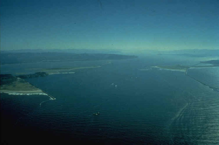
Aerial view looking east from above entrance
to estuary. The North Jetty is to the left and South Jetty to
the right. [Image courtesy of R. Emmett, NMFS] |
 |
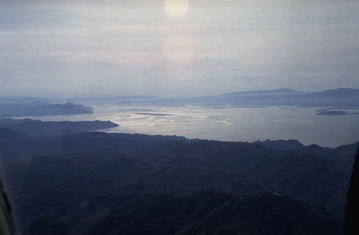
Aerial view looking SE over central region of
estuary. |
 |
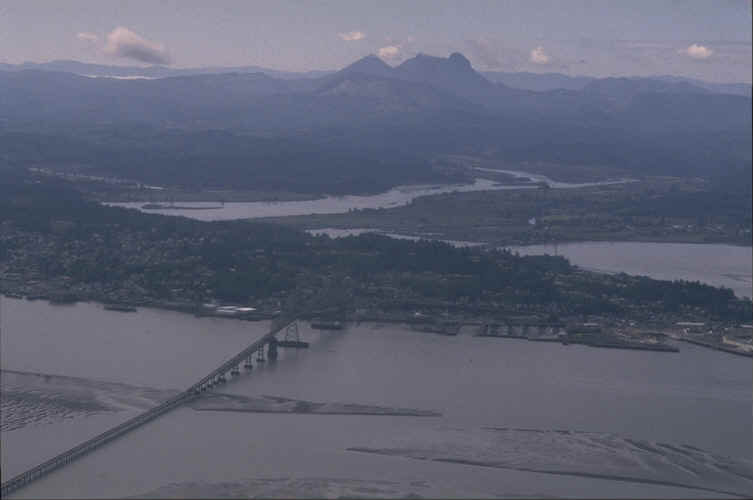
Aerial view looking south over Astoria, with
Saddle Mountain on horizon. [Image courtesy of R. Emmett, NMFS] |
 |
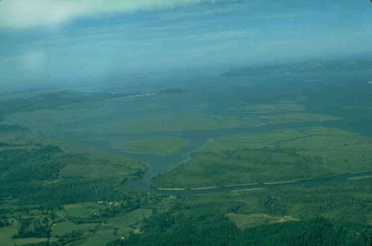
Aerial view looking NW over marsh islands of
Cathlamet Bay, with entrance to estuary in background. [Image
courtesy of L. Weitkamp, NMFS] |
 |
Aerial view downstream of the Columbia at RiverMile
53. The primary upstream sampling site for CRETM-LMER was located
at the dock in the lower right corner of this view. [Image courtesy
of L. Weitkamp, NMFS] |
![]()