Project Area: Puget Sound in the Salish Sea
Padilla Bay – Photo Credit: Mike Nesbitt
Puget Sound is the southern extent of the Salish Sea, an inland waterway that spans the border between the northwestern U.S. A. and British Columbia, Canada (Fig. 1).
The Salish Sea is a complex fjordal system situated between the Cascade volcanic mountain chain and the Olympic Mountains. It opens to the Pacific Ocean through the Strait of San Juan de Fuca, a 150 km long narrow channel that funnels cold ocean waters in and out of the system. Rivers from the snow-packed mountains feed fresh water and
sediment into the sea, many of them actively building deltas. The entire seaway consists of a complex of sandy beaches, rocky headlands, estuaries, and smaller embayments and canals.
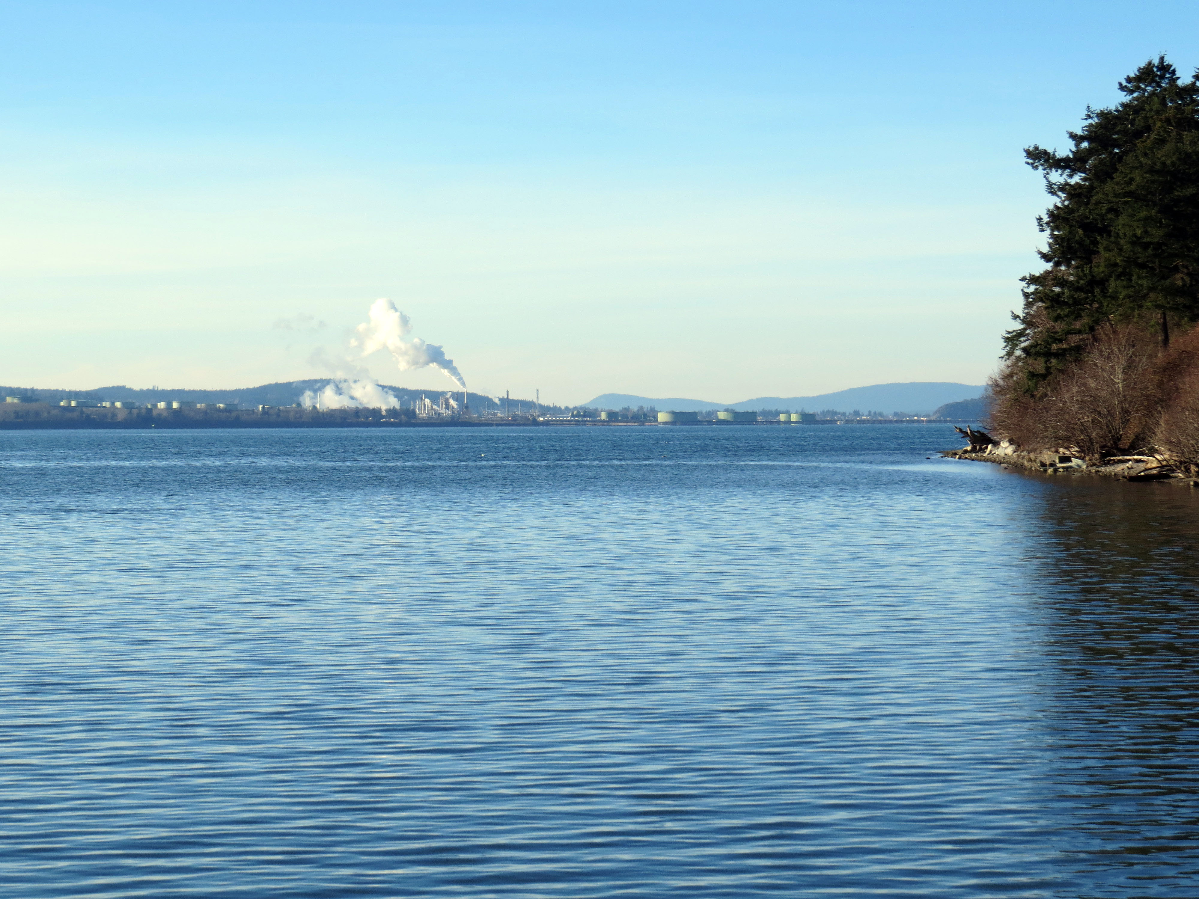
Elliott Bay – Photo Credit: Mike Nesbitt
The Salish Sea has been seriously impacted by anthropogenic changes to its shoreline and water quality. Government agencies at all levels have been studying the ecosystems around the sea. In Washington State, environmental studies of Puget Sound are
pursued by a consortium of Federal, State, County and Tribal organizations. Sediment monitoring programs conducted by the Washington State Department Ecology has been collecting bottom sediment samples from Puget Sound since 1989, concentrating on different areas in sequential years. Annual sampling has produced a very large database of both sedimentary characteristics and bottom water chemistry

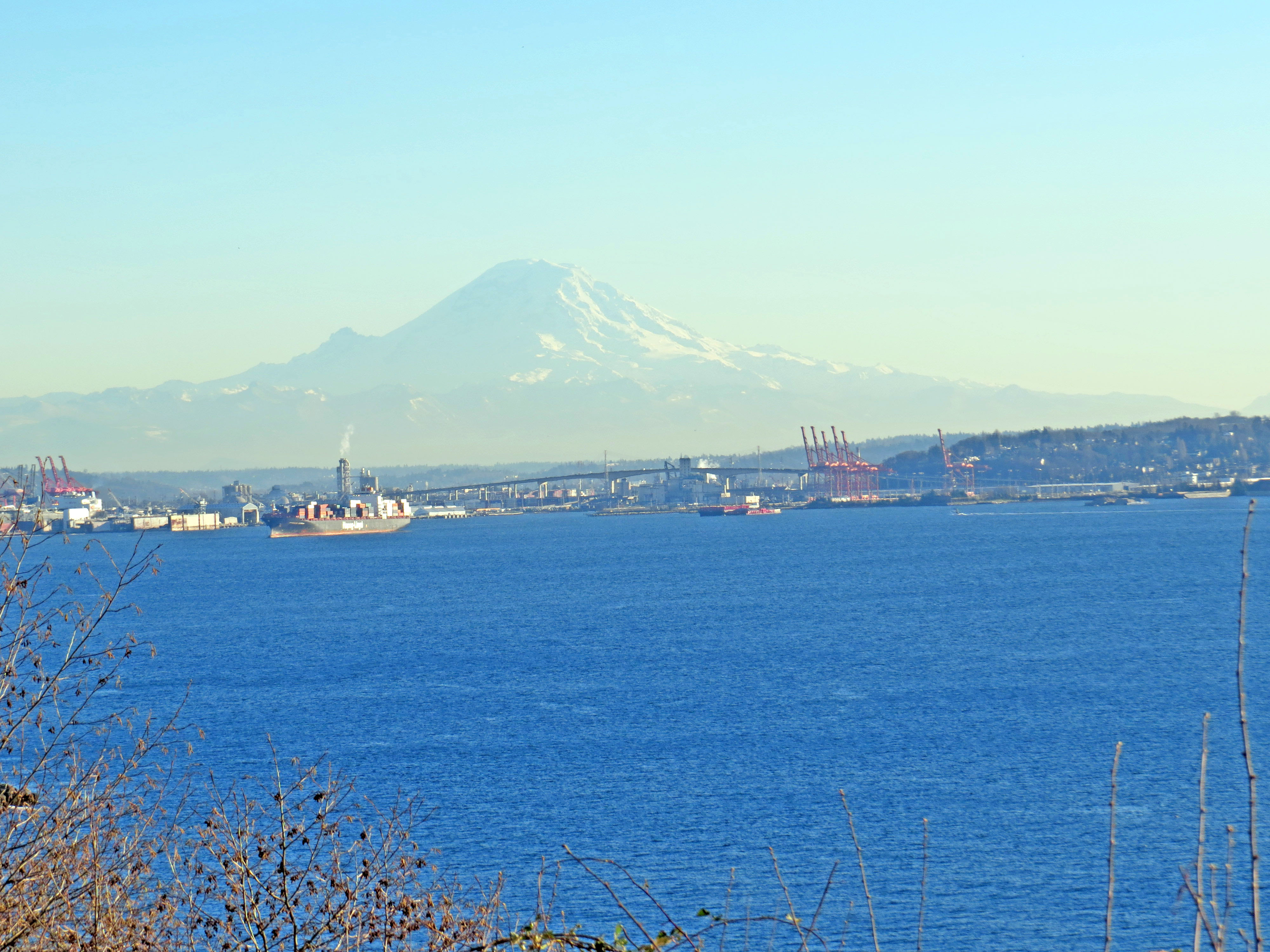
Central Puget Sound – Photo Credit: Mike Nesbitt
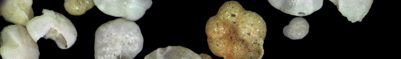
Subsamples have been made available to the Paleontology Division of the Burke Museum for studies on the benthic foraminifera of the Sound. No prior study has reported on these assemblages or on the taxa present within the different geographic environments of Puget Sound.