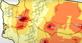
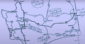
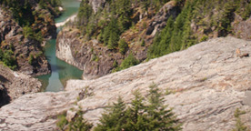
There are lots of reasons why eastern WA might be perceived as different. There is a perceived cultural divide that separates the eastern and western parts of the state along the geographic divide of the Cascade mountain range, often called the “cascade curtain”. The cascade curtain represents a geographic and political divide between ‘westside liberals’ and ‘eastside Republicans’ resulting from the differing population distribution and topography in the two ‘sides’ of the state. The eastern region encompasses counties that have a history of agriculture and they are the top producers of crop and livestock products which may lead eastern WA to be associated with rural, agricultural and ‘cowboy’ culture. This notion is supported by the fact that eastern WA was frequently labeled as “country” or “hick” and, in fact, this notion comprised the largest category of labels given by the respondents.


