 |
||||
|
|
|
IKONOS-Based Juniper Extraction
|
|
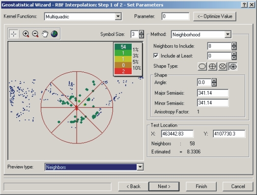
The identification of the spatial patterns of fuel load accumulation are critical to effective fire management regime, which reduce continuous fuel loads on the landscape capable of producing drastic and uncontrollable fires. Tree health and susceptibility to disease are related to variables that can have a spatial component (i.e. moisture, elevation). Therefore, methods that utilize the spatial relationship (spatial autocorrelation) of datasets are suitable for estimation of parameters such as health and fuel load. Geostatistics were used to interpolate surface maps of tree health and fuel load, using the fundamental assumption of geostatistics that observations close to one another are more similar then observations further apart. |
|
| Dr. L. M. Moskal @ UW | RSGAL @ UW | Wilsons Creek National Battle Field |
This
project was funded by National Park Service through the Cooperative Ecosystems
Studies Units (CESU) |
||
| © 2003 - 2011 Dr. L. M. Moskal - Last updated on 07.01.11 19:23 | ||