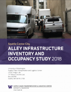
Seattle is thought to be the first city in the U.S. and the E.U. to comprehensively map the Center City area's commercial vehicle load/unload space network, including its alleys. The Urban Freight Lab (UFL) occupancy study is linked to that inventory study, as alley design and functional features directly impact how commercial operators use alleys. This study documents commercial vehicle occupancy of representative alleys to better understand alleys' current use and operational capacity, recording use-patterns such as how long vehicles were parked in alleys; how long and what times of day alleys were vacant; and what types of vehicles were parking in alleys.
Seven representative Center City area alleys were selected to study, two of which were then chosen as more detailed case studies. Each of the seven alleys was chosen to represent various features (such as the number of access points for freight or passenger parking); characteristics (pavement type, alley width, overall condition); and location (some are near—and therefore serve—office buildings, retail centers, residential buildings, or some mix of these).
The occupancy study documents that each alley has unique features that impact operations, suggesting the need for flexible alley management/operation guidelines with myriad options available. The study also drives home the reality that alleys do not function in isolation, but rather form one element of the Center City's broader load/unload network, including the curb and private loading bays. To mitigate congestion, many cities face a growing need to actively manage their load/unload network. An alley occupancy study is a key part of this process, helping policymakers and transportation officials understand how the city's alley system is being used at street level—and how alley design and features affect that use.

