Success Stories
-
April 25, 2024
Computer Vision for Pedestrian Traffic Monitoring
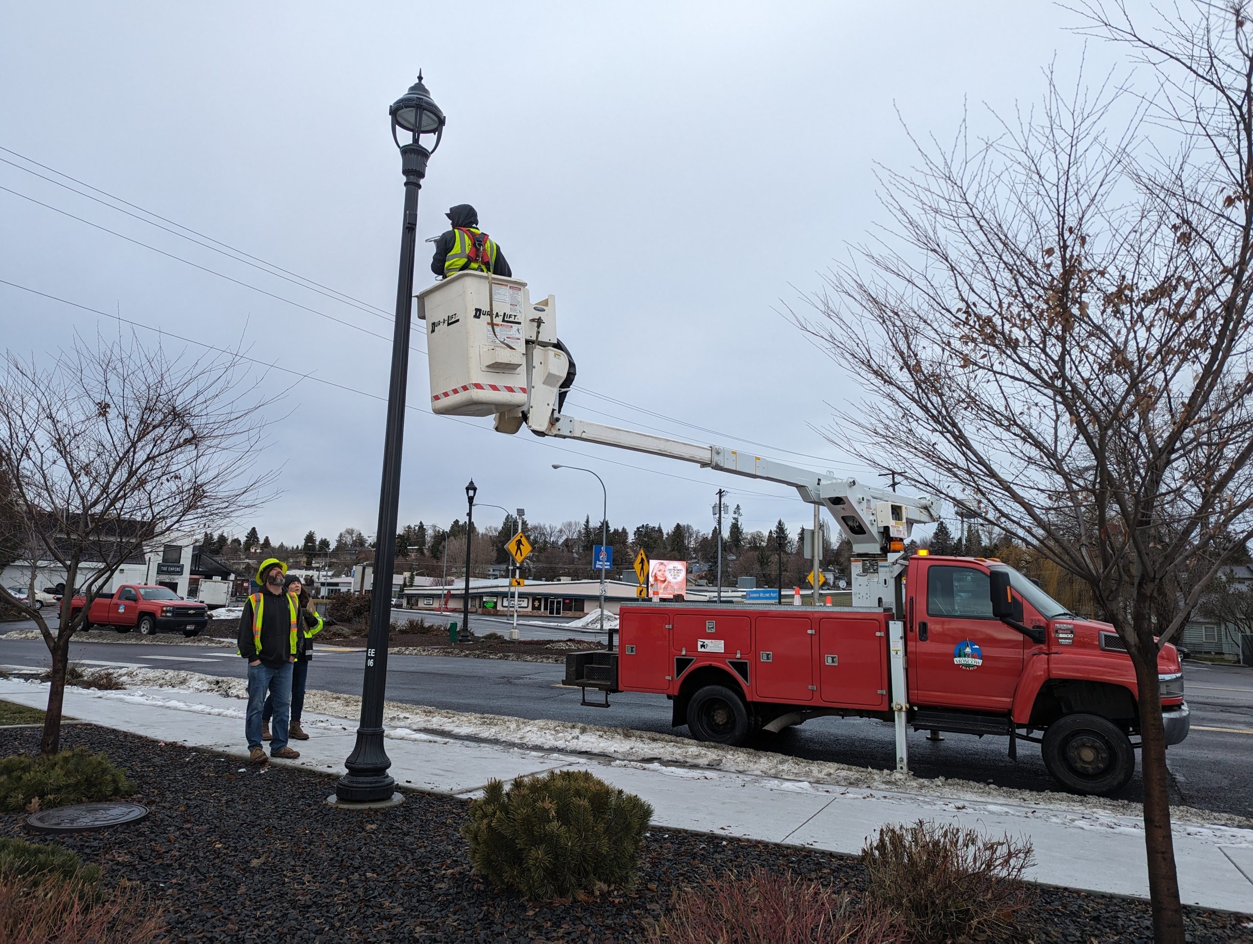
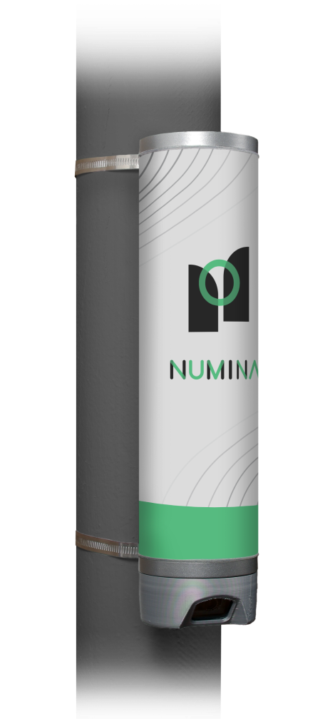 The University of Idaho is working with the City of Moscow, Idaho, to test computer vision sensors provided by Numina, a new start-up company based in New York City. The sensors use sophisticated algorithms to interpret visual data to recognize pedestrian behaviors, such as crossing the street, waiting at crosswalks, or sudden movements. Compared to traditional methods like manual observation or radar-based systems, computer vision sensors offer higher precision and scalability, making them a more effective solution for enhancing pedestrian safety in urban environments. The data is saved in a cloud-based system that is easy to query and download for further analysis. Read More
 -
March 20, 2024
Automating Data Processing of 3D Point Cloud Data with Vo-Norvana
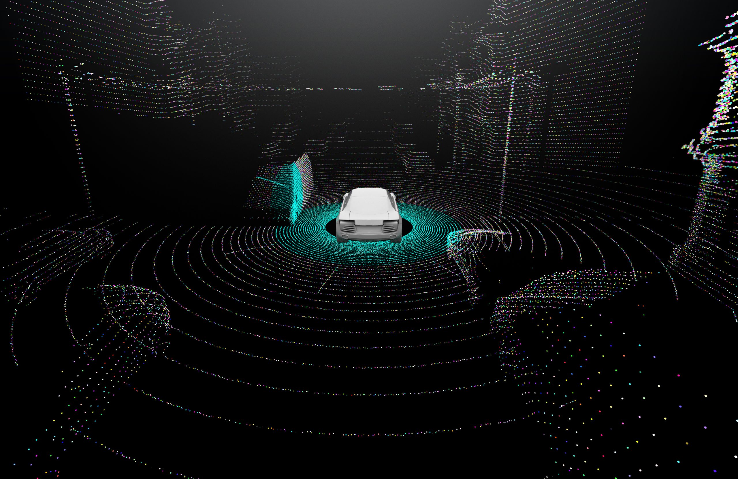
Lidar and Structure-from-Motion (SfM) technology have been widely used for collecting 3D point cloud data at high resolution and accuracy for various transportation applications, including infrastructure modeling and lane marking quality assessments.
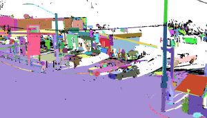
Professors Erzhuo Che and Michael Olsen from Oregon State University (OSU) developed and implemented a framework named Vo-Norvana as part of a National Science Foundation-funded research project. This framework automates a significant portion of data processing by organizing the point cloud into individual segments/surfaces (Figure 1). Despite the extensive use of point cloud data in transportation applications, its complexity and volume present challenges in effective utilization.
(a)
(b)
Figure 1. Example of Vo-Norvana point cloud segmentation: (a) raw mobile lidar point cloud data; (b) segmentation result where each color represents a segment.
Through the PacTrans Success Story Tech Transfer funding, the team worked to make the technology more accessible. They produced an intuitive graphical user interface (GUI) for Vo-Norvana, featuring functions such as point cloud file management, downsampling, and segmentation parameter adjustments. Additionally, the software was made compatible with both Windows and Linux environments.
Vo-Norvana has been presented and demonstrated to industry partners and transportation agencies, including the Oregon Department of Transportation. In 2020, the software was licensed to an OSU spinout company, EZDataMD LLC, for sustainable development and expanded use such as asset management, pavement crack mapping, road marking extraction and evaluation, and rockfall hazard analysis.
-
July 11, 2022
PacTrans Director Yinhai Wang led STAR Lab launches spin-off company- AIWaysion

The PacTrans Smart Transportation Applications and Research Laboratory (STAR Lab) at the University of Washington recently launched a spin-off company – AIWaysion. The company provides Smart Mobility Solutions using Artificial Intelligence (AI), computer vision, and edge computing technologies for safer and more efficient transportation.
Read More -
December 06, 2021
Incorporating Ride-Sourcing Service into ADA Paratransit
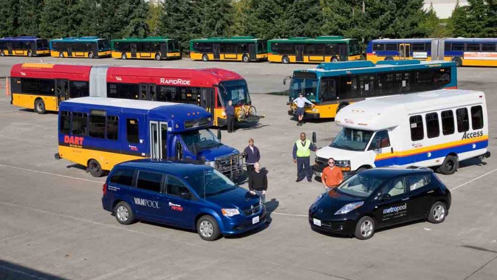
This web post summarizes a technology transfer project co-funded by PacTrans and King County Metro Transit on leveraging ride-sourcing services a part of ADA paratransit. In early December 2021, PacTrans PI and Professor of Urban Design and Planning at the University of Washington, Qing Shen, and a Graduate Research Assistant in the Interdisciplinary PhD Program in Urban Design and Planning at the University of Washington, Lamis Ashour, delivered a webinar titled, Incorporating Ride-Sourcing Service into ADA Paratransit: Opportunities and Challenges for Public Transit Agencies.
Read More -
December 02, 2021
PacTrans Technology Transfer Success Story 2019 #5: Curbside Management Challenges and Pilot Project
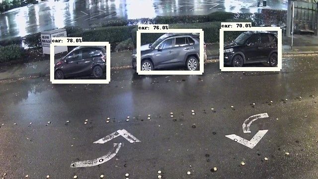
Researchers at the University of Washington recently completed a very exciting, PacTrans-funded, Technology Transfer project involving a newly developed sensor, and its deployment for a pilot study in the City of Bellevue, WA. We sincerely hope you enjoy their story:
Read More
1
2
3
…
7
Next »

