PacTrans News
-
May 8, 2026
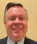
Join the UW Transportation Seminar on May 14 with Albert Wang, PhD
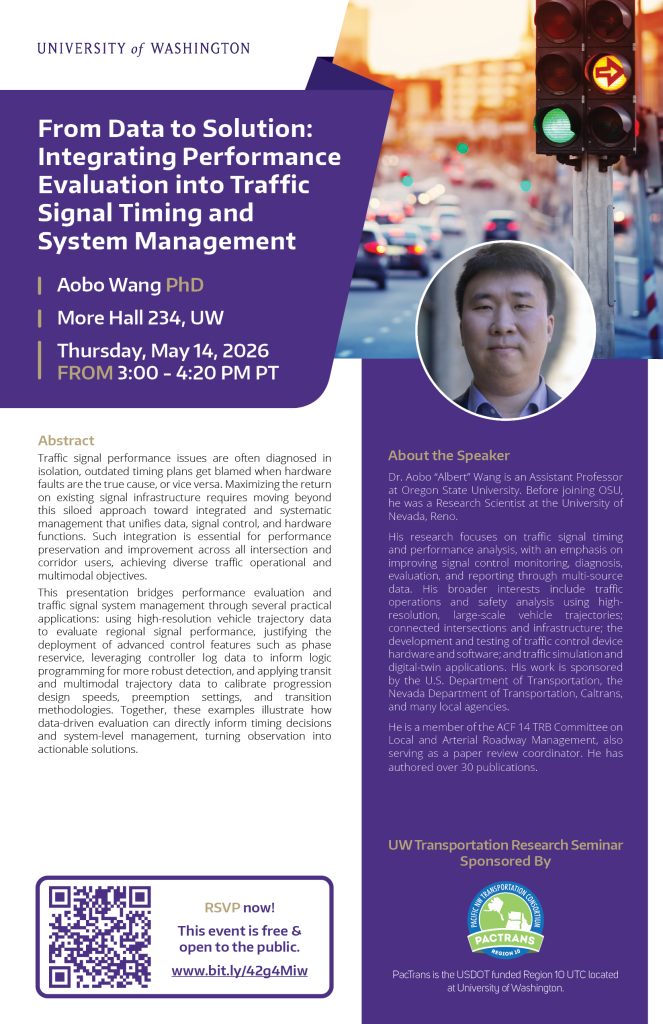
Join our upcoming PacTrans-sponsored UW Seminar titled “From Data to Solution: Integrating Performance Evaluation into Traffic Signal Timing and System Management” with Dr. Aobo “Albert” Wang, Assistant Professor at Oregon State University.
Seminar Details
📌 HUB 234, University of Washington
⏲️ Thursday, May 14, 2026 from 3:00PM – 4:20PM PT
💼 This event is free & open to the public!
☕ Refreshments provided.
This seminar aims to actively engage transportation professionals and students with a wide variety of transportation-related activities and opportunities (such as this seminar) to further their education, experience, knowledge, and networks.
-
April 10, 2026
The 2026 Region 10 Transportation Conference is headed to Anchorage, Alaska in October! Save the date now!
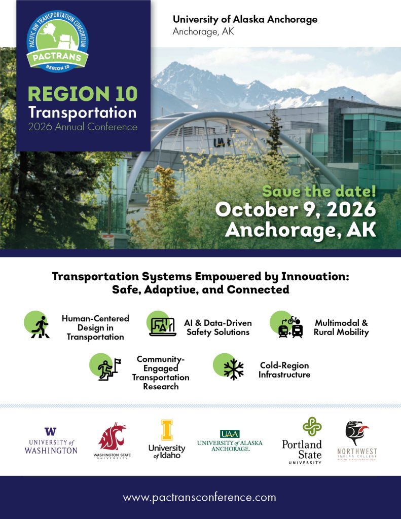
We are pleased to welcome you to the Region 10 Transportation Conference at the University of Alaska Anchorage on October 9. We are proud to continue this tradition of hosting the premier forum for transportation research in the Pacific Northwest. Each year the conference aims to hear from leaders in transportation, showcase innovation in technology and research, provide a means for collaboration, and advance the transportation workforce.
This year’s theme is Transportation Systems Empowered by Innovation: Safe, Adaptive, and Connected.
We encourage you to share this announcement with colleagues and others in your network who may be interested. Registration details will be available soon. We look forward to welcoming you to Alaska!
For students, we are pleased to offer opportunities to participate in both the main conference and a dedicated student conference on Saturday, October 10. Additional details will be shared soon.
Learn More at www.pactransconference.com or add the event to your calendar now!
-
March 10, 2026
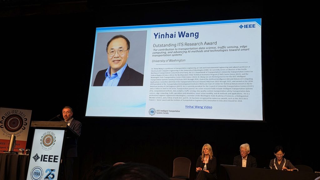
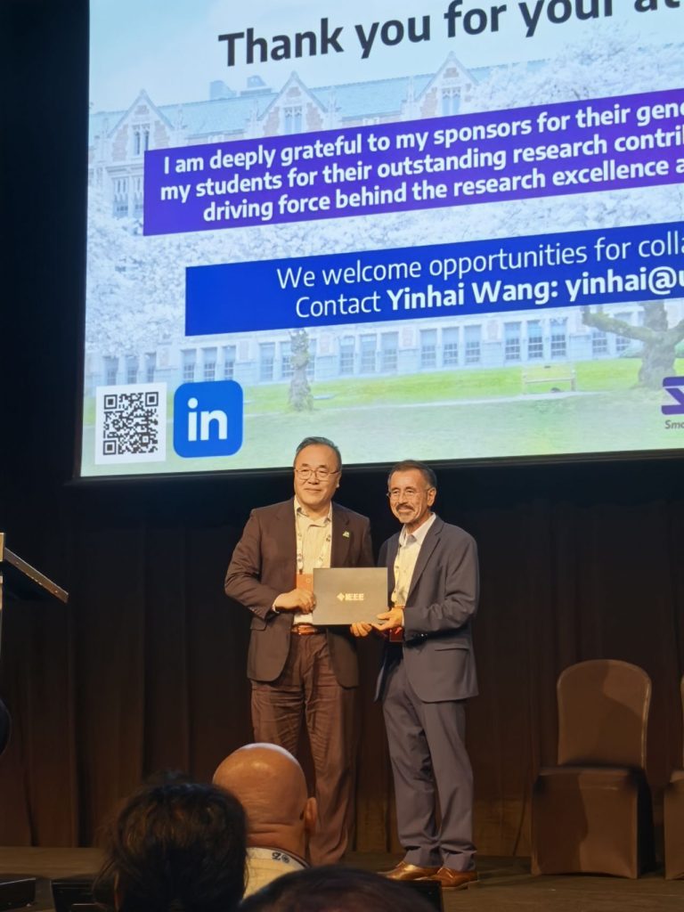
PacTrans Director Yinhai Wang receives 2025 Outstanding Research Award from the Institute of Electrical and Electronics Engineers Intelligent Transportation Systems Society
Congratulations to PacTrans Director Yinhai Wang, for receiving the 2025 Outstanding Research Award from the Institute of Electrical and Electronics Engineers Intelligent Transportation Systems Society, recognizing his contributions to transportation data science, traffic sensing, edge computing and artificial intelligence for smart transportation.
-
March 2, 2026
WA Student Infrastructure Workforce Internship 2026
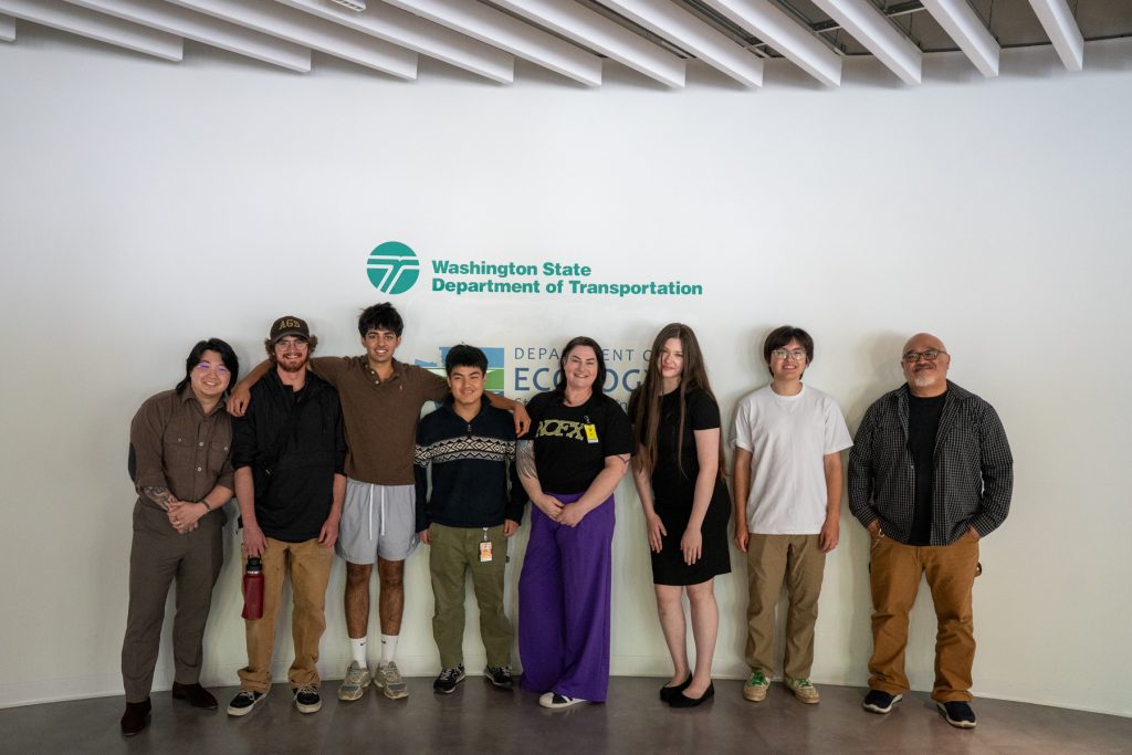
Deadline: March 13, 2026
We are offering exciting high school & undergraduate Infrastructure internship opportunities for high school (juniors and seniors) and college-level (freshmen through junior) students interested in infrastructure (transportation, engineering, planning, computer science, and more). This learning opportunity provides students with the opportunity to gain valuable experience in the infrastructure workforce, build their resume, and engage with mentors who will offer guidance, training, and support throughout the experience. This valuable opportunity supports students’ understanding of what diverse careers in Infrastructure might look like and exposes them to the many benefits offered through these careers.
-
February 19, 2026
Call for Tech Transfer Success Stories – Up to $10k in funding!
Due March 31, 2026
We are seeking proposals for up to $10k in funding for innovative tech transfer activities related to your transportation research. While we encourage PIs to submit ideas based on previously funded PacTrans research outputs, this RFP is open to anyone with strong transportation related research results who is interested in moving those results into practice.
How to apply and required format: Please see the full RFP here
Application form: Apply here by Mar 31, 2026Key Dates
- Proposals Due: Mar 31, 2026
- Decisions: Apr 30, 2026
- Performance Period: Must start before Sept 16, 2026 (12-month performance period)
