
Mona Atia, George Washington University
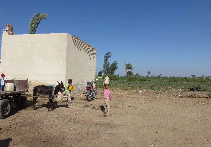
Mona Atia is assistant professor of geography and international affairs at The George Washington University. My project investigates poverty mapping as a network consisting of a tool, a set of actors involved in its production, and specific sites and subjects of intervention. My overarching research question is: how is poverty mapping framed as a technocratic intervention, used as a political instrument and experienced as a mechanism of governance? The research takes up Egypt and Morocco as sites to examine the contextual aspects of poverty hidden behind poverty maps and aggregate indicators, the spatial patterns associated with the poverty map as an intervention, and how poverty maps mask layers of scaled politics regarding the poor. I investigate the field of poverty interventions in case study villages of Assuit and Tinghir as well as the spatial patterns associated with the targeting approach. I ask how the poverty map reshapes everyday experiences of poverty and local politics in the villages. The proposed research brings a critical development approach to the study of poverty knowledge. In contrast to most research on poverty mapping which focused on methodological issues, this research is concerned with the forms of measurement, the nature of knowledge and expertise mobilized, and the scalar and political impacts of poverty mapping as a mode of governance. The project illuminates the politics of knowledge production about poverty, specifically how a global network of experts produce and disseminate poverty mapping knowledge based on decontextualized aggregate statistics that then drive development policies at the local, national and global scale.
Contact: atia@email.gwu.edu – Website
Leave a Reply