
Daniel Bassill, Tutor/Mentor Connection, Chicago
Since 1993 the Tutor/Mentor Connection (T/MC), a small Chicago organization, has been innovating strategies to help k-12 non-school, volunteer-based tutor, mentor and learning programs grow in all high poverty areas of the city. T/MC began piloting uses of GIS maps in 1993, as a tool to show where existing programs are located, and where more are needed, as well as a way to identify neighborhood resources that could help programs grow.
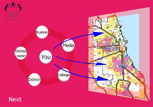
Drawing upon 1995 donations from ESRI and IBM and talent from Northern Illinois University, the T/MC began building a list of non-school tutor/mentor programs, and plotting this on GIS maps that also included indicators of need, such as poverty, poorly performing schools, violence, etc. In 2004 this was put on line as a search-able database. In 2008 an interactive map directory was launched. Using our map capacity we have created dozens of map stories that draw volunteers and donors into neighborhoods featured in news media that highlight the negatives outcomes of poverty (shootings, poor schools, drugs, gangs, etc. We are trying to teach others to uses the platform to tell their own map stories, while seeking partnerships to spread this capacity to other cities. Visit this wiki page to learn more. http://tutormentorinstitute.wikidot.com/project:geographic-information-systems-interface-with-data Since 2011 the T/MC has operated as a program of Tutor/Mentor Institute, LLC
Twitter: @tutormentorteam
Leave a Reply