Joshua Inwood, Department of Geography and the Rock Ethics Institute, the Pennsylvania State University
Co-PI: Derek Alderman, Department of Geography, the University of Tennessee
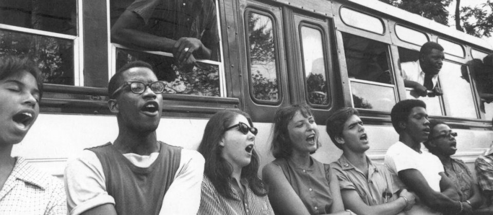
Analyzing the ways civil rights groups organized to confront white supremacy and inequality is of critical importance for scholars who want to address social injustice. This National Science Foundation Project (co-pi Derek Alderman) explores how Civil Rights organizations used geospatial data techniques to calculate, map, and analyze the spatial and social dimensions of segregation in the US South during the US civil rights struggle. The Student-Non Violent Coordinating Committee (SNCC) was at the center of this geospatial labor and SNCC was instrumental in compiling, organizing and analyzing spatial and social information from its field-based operations spread throughout the Deep South. By examining the civil rights movement in the context of Black Geographies this research expands upon understandings of the powerful and profound ways African Americans make space and conceptualize place. As a result, this research project contributes to Geographic knowledge and has the potential to impact Geographic curriculum and public thought through its plan of publication and innovative outreach. This research also informs contemporary struggles over rights and racial justice. The nation’s current civil rights picture continues to speak to how people of color continue to struggle to travel across, live within, and survive an uneven geography of systemic racism. These differentiated life chances are particularly apparent when examining the ongoing policing of African American neighborhoods and bodies in cities, the continuing segregation of neighborhoods, social institutions, and public places, the disproportionate mass incarceration of poor people of color, and an ever-widening racialized income divide.
Twitter (Joshua): @JoshGeog
Twitter (Derek): @MLKStreet


Leave a Reply