
Puget Sound transit agencies want to ensure the safety and security of transit riders. Transit operators have long monitored crime and are aware of high incident locations. However, they lack data-driven tools to readily match crime events with the locations of individual transit facilities and with transit service periods. This pilot project explored the use of data-driven tools to identify concentrations of criminal activity near transit facilities and illustrated how novel sets of disaggregated data on both crime and transit ridership can serve the development of models to assess the safety of transit riders at specific locations.
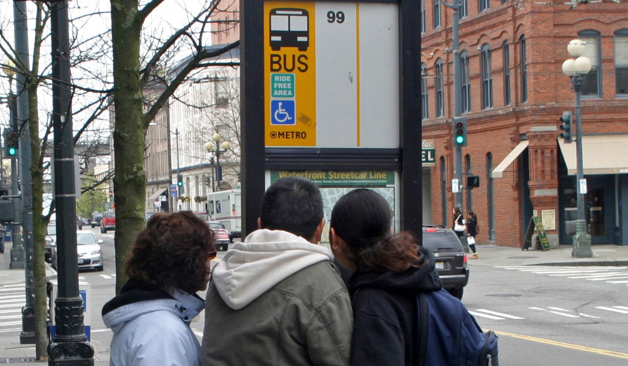
The project used two novel data sources: police crime reports organized by location and crime type, and individual transaction records from the region’s electronic transit fare payment system (ORCA)) to supply transit ridership data. Two sets of models were developed to examine exposure to crime, one for those waiting for transit (within 100 meters of transit stops) and one for those walking to transit (within 400 meters of transit stops). The hypotheses were that within 100 meters of a stop, amenities at stops will act as deterrents of crime; and within 400 meters, different characteristics of the built, social, and transportation environment will be associated with crime. Analyses were restricted to the city of Seattle, and models were run both for all stops in the city and for stops only in the city’s urban villages (which serve 90 percent of the city’s ridership and have the stops with the most crime).
The researchers found that amenities at stops have mixed associations with crime, suggesting that amenities serve to provide riders with added comfort but not necessarily more safety.
Higher ridership was found to provide safety while waiting for transit (100-meter models) but to expose riders to more crime as they walk to and from transit (400-meter models). In urban villages, sidewalks were found to be associated with a lower likelihood of crime. However, a more connected street network, such as in the oldest, most urban areas of Seattle, was found to be associated with more crime.
The project’s overall goal was to provide transit agency planners with new data and tools for crime surveillance and prevention and to help agencies better protect transit riders on their way to and from stops and while waiting for transit. The authors recommend that future research continue to examine how to help monitor criminal incidents and predict hot spots for crime prevention, as well as further explore the effects of possible countermeasures to improve transit user safety and to support decision-makers in allocating safety investments.
Authors:
Anne Vernez Moudon
Alon Bassok
Mingyu Kang
UW Urban Form Lab, Department of Urban Design and Planning
Sponsor: WSDOT
WSDOT Technical Monitor: Alan Soicher
WSDOT Project Manager: Jon Peterson