
By planning and implementing transit-oriented development (TOD) projects, public agencies can promote environmentally responsible and socially equitable transportation services while also making important contributions to alleviating the affordable housing shortage. The Washington State Department of Transportation (WSDOT) is uniquely positioned to create TOD in Washington state. It can leverage its resources, including significant land holdings for parking and other transportation facilities, to build partnerships with regional transit agencies, municipalities, and private developers to initiate TOD.
A key component of TOD is multi-family housing near the transit system. This mixed-use TOD contrasts with transit-adjacent and single-use developments, as it supports transit use and promotes sustainable, livable, and equitable communities that are compact, walkable, bikeable, accommodating of various forms of micro-mobility services, and accessible to diverse housing and local businesses.
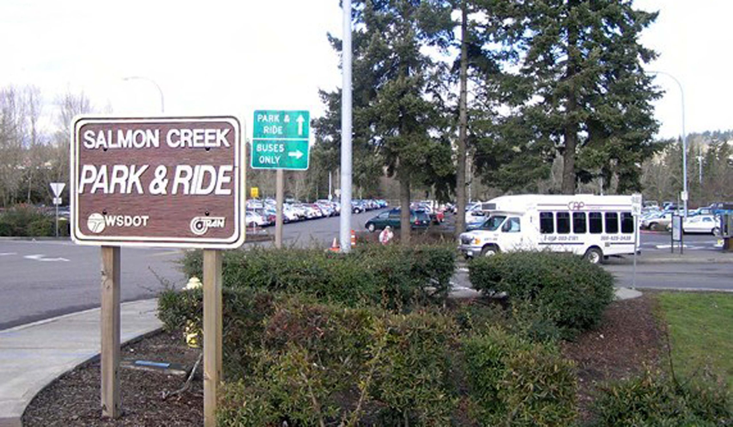
The goal of this project was to develop a planning support tool that WSDOT can use to cost-effectively identify the most promising park and ride sites on which to focus its TOD efforts. The prioritization tool was designed to support TOD planning and implementation by describing current conditions for TOD before WSDOT decides what will be built on the park and ride sites it owns.
To evaluate the relative importance of indicators for measuring TOD potential, the researchers collected and synthesized input from nine experts with diverse backgrounds and professions through a Delphi process. The indicators included a range of physical and location characteristics, sociodemographic indicators, and planning and policy actions on the sites. The experts discussed TOD under three scenarios that emphasized different types of housing units and land uses. Their final lists of TOD indicators for the three scenarios and the indicators’ relative importance derived from rankings and ratings constituted the TOD prioritization tool.
The final list of TOD indicators includes supportive land-use zoning and policies, job accessibility, population and employment densities, land price, transit network connectivity, land-use mix, racial diversity, household income, walkability, special generators of transit demand, housing unit rent, and home value. This comprehensive list of TOD indicators allows for comparisons of TOD potential among places in different geographic contexts.
At least two indicators are used to measure each of five key dimensions of a location’s TOD potential:
- public transportation services supply and demand
- adjacent land uses and walkability
- sociodemographic attributes of the local population
- real estate market conditions
- supportive state and local transportation and land-use policies.
To test the resulting tool, the research team used it to measure the TOD potential at three WSDOT-owned park and ride sites in Snohomish, Clark, and Spokane counties in Washington.
The tool can help facilitate the use of public transit and support a more sustainable urban transportation system by prioritizing the locations with higher levels of transit service, denser population and employment, more diverse land uses, higher land values, and a more transit-supportive regulatory environment. The tool can also contribute to improvement in quality of life for racial groups by prioritizing the locations with greater racial diversity, better job accessibility, and higher walkability.
Report: WA-RD 925.1
Authors:
Qing Shen
Anne Vernez Moudon
Mingming Cai
UW Department of Urban Design and Planning
Arthur Acolin, UW Department of Real Estate
Sponsor: WSDOT
WSDOT Technical Monitor: Anthony Buckley
WSDOT Project Manager: Doug Brodin