
Roadway safety can be significantly improved with the real-time collection of data on traffic, roadway surface, and environmental conditions and the efficient broadcasting of that information to road users. This project tested a mobile sensing unit and visibility detection system that would collect real-time traffic and environmental data to aid in object detection and tracking and that could activate warning systems to bolster traffic safety and system resilience.
The University of Washington’s Smart Transportation Applications and Research Laboratory (UW STAR Lab) has developed the Mobile Unit for Sensing Traffic (MUST), which can be used for real-time traffic and environmental sensing, data collection, vehicle-to-everything (V2X) applications, roadway monitoring, and infrastructure security. The MUST can collect real-time transportation-related data, such as travel times, speeds, traffic volumes, vehicle types, pedestrian flows, and roadway surface and weather conditions. Taking advantage of AI technology, the MUST can detect moving objects without the need for high bandwidth communication support. In addition, the MUST can be configured as a road-side unit for connected vehicle and other smart transportation applications.
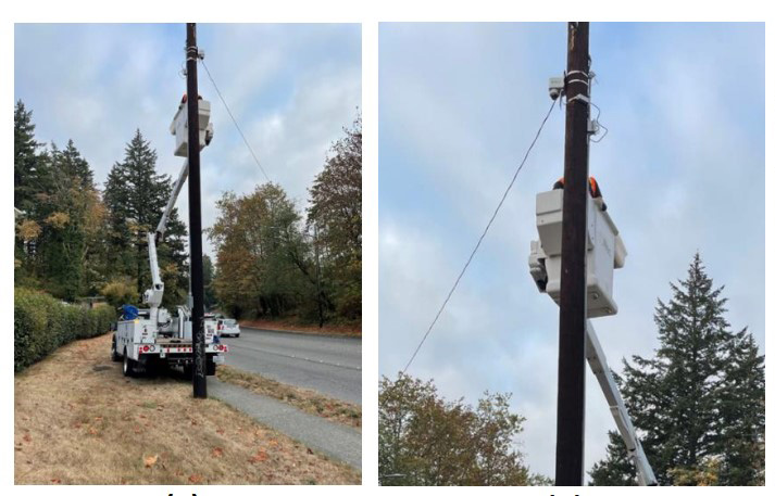
This project tested a cost-effective, real-time visibility detection system based on MUST sensors and installed in the cities of Lynnwood and Bellevue, Washington. The visibility detection system can leverage computer vision (CV) technology to accurately estimate visibility through images captured by the MUST device. This system enables real-time data analysis directly at the edge, facilitating the instantaneous processing of visibility conditions using CV-based algorithms. Its high visibility estimation accuracy rate, surpassing 90 percent, is achieved through advanced image-processing techniques. Additionally, this system is more cost effective than traditional detection technologies such as lidar.
The installed MUST sensors effectively captured vast volumes of data. These data spanned diverse weather conditions, encompassing snow, rain, fog, and other varying atmospheric states. These image data, when coupled with accompanying environmental data such as temperature and humidity, served as a rich repository for the model training.
The collected data consistently highlighted a pervasive issue in traffic environments: image haze. Such haze affects the accuracy of traffic sensing systems and also poses significant safety challenges. Therefore, the researchers developed a process to remove haze, restoring the image to its original dimensions and clarity. Such enhanced visuals pave the way for superior and more accurate detection of vehicles and vulnerable road users, marking a significant leap in traffic monitoring capabilities.
In addition, the researchers developed a vision-based road visibility measurement algorithm that utilizes the scattering map generated from the developed haze removal algorithm. This innovative approach will enable the edge computing system to estimate visibility more cost effectively and with greater accuracy.
The project also secured a patent for the innovative system, safeguarding the technology and encouraging its broader application.
Researchers:
Yinhai Wang
Chenxi Liu
UW Department of Civil and Environmental Engineering
Sponsors:
WSDOT
FHWA Statewide Transportation Innovation Council
WSDOT Technical Monitor: Matt Neeley
WSDOT Project Manager: Doug Brodin