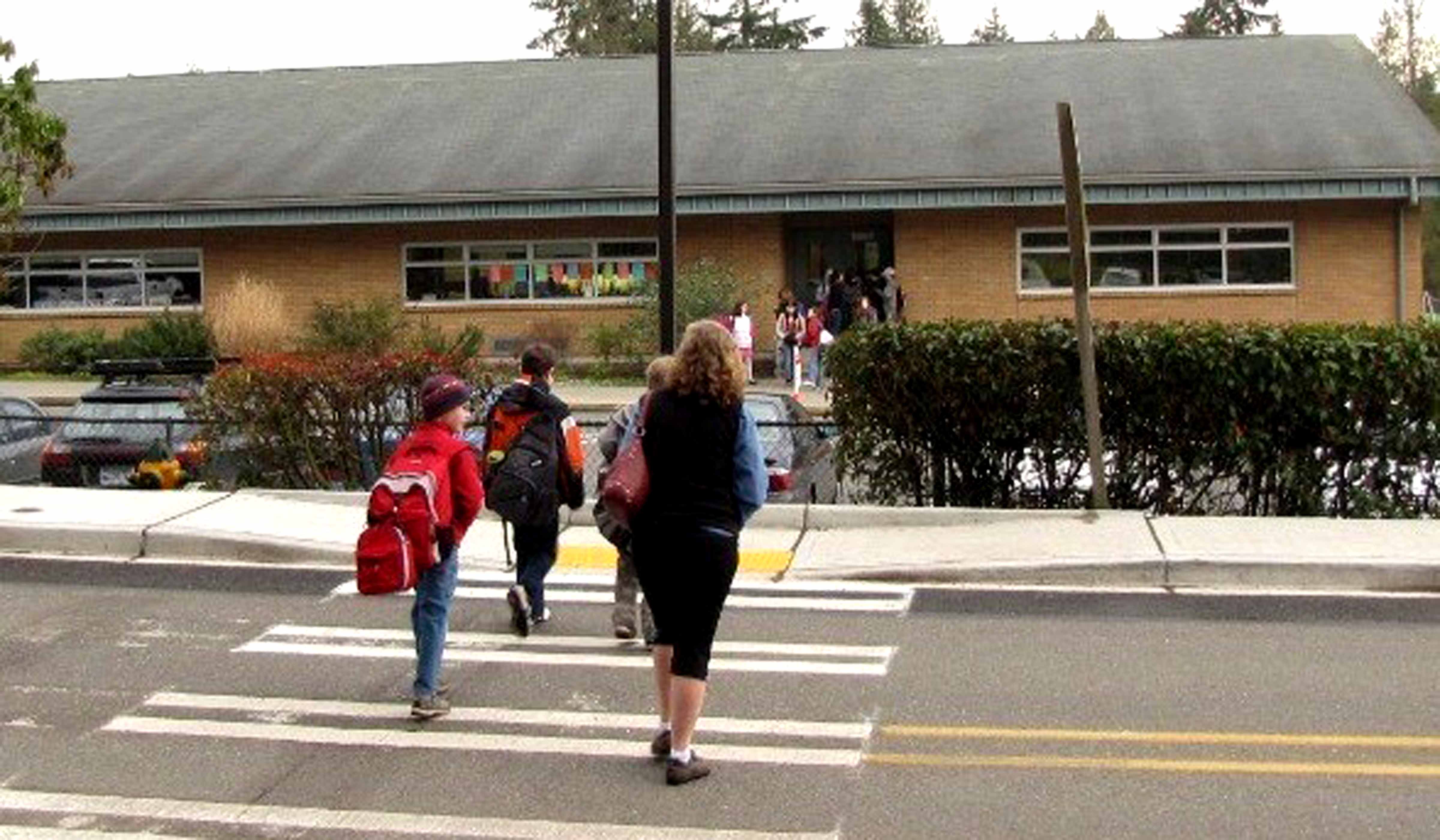
Walking and biking to school help children be healthy. They also reduce air pollution, local noise, and traffic congestion. Poor walkability environments pose barriers for children to walk to school. This project developed two school walkability scores that can help parents and school staff assess walkability levels around individual schools and that can also guide jurisdictions in selecting strategies that will increase walkability and safety around schools.
By reducing the number of vehicular trips, active school transportation reduces traffic congestion and associated air pollution. In addition, walking and biking to school reduce the risk of childhood obesity by increasing daily physical activity and help children establish a healthy living style. Despite these perceived benefits, only 16 percent of children in the U.S. walked to school at least once a week in 2017.
State governments, local jurisdictions, and community groups have actively developed school-based programs, such as Safe Routes to School (SRTS), to promote active travel, with program types ranging from engineering to education to enforcement. Most of them have proved to significantly increase the percentage of children walking and biking. For planners and policy makers, the effectiveness of the programs necessitates having appropriate tools to identify and prioritize the allocation of funding and resources.
This project used unique data from the 2016 Washington State Student Travel Survey, combined with readily available statewide data on the built environment around schools and on the characteristics of the schools and their populations, to first confirm the factors that the literature has shown to influence children walking to and from school. Walkability scores were then estimated for K-8 Washington state schools under different data availability scenarios. First, models were developed by using the 66 schools in King County for which there were both student travel data and extensive built environment data. These schools served as “best case” scenarios for calculating walkability indices. The models were then run for three additional scenarios that reflected the limited data available in the state outside of King County. Next, models with limited data were run for the 159 remaining schools in Washington state for which student travel data were available.
A Walkability Score, for describing how well the physical environment supports walking, was applied to all K-8 schools and was based on two built environment characteristics: street connectivity (route directness) and vehicular traffic exposure (ratio of major to minor streets); school total enrollment was used as a control variable. A Walking Potential Score, for estimating the percentage of children likely to walk at each school, was calculated by adding the percentage of children in the school lunch program and the number of children riding the school bus to the variables used in the Walkability Score. The researchers verified the algorithms by using actual walking data collected by the Washington State Student Travel Survey, which included 11,421 participants from 225 schools.
The resulting average Walking Potential Score was 21.5 percent of the students in a school walking to or from school. It ranged from 0 percent to 78 percent of the children in individual schools expected to walk to school.
The Walkability Score and Walking Potential Score establish two systematic and verified scales by which policy makers and public officials can compare schools within the state. And other jurisdictions can replicate the methods used to develop the algorithms with their own data. The scores can guide the future allocation of funds to support and promote walking to school in two ways. First, they can help rank schools according to the need for increasing their rate of walking. The scores can also identify those components and indicators of the school neighborhood environment that could be changed to most effectively increase the likelihood of children walking to school.
Authors:
Anne Vernez Moudon
Xiao Shi
Yefu Chen
UW Urban Form Lab, Department of Urban Design and Planning
Sponsor: PacTrans

