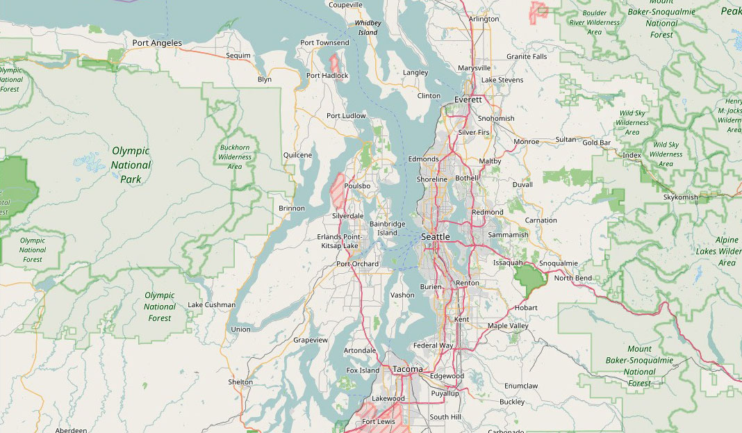
This project made improvements to the data fusion techniques and database design of an online system called the WSDOT Digital Roadway Interactive Visualization and Evaluation Network (DRIVE Net). DRIVE Net is a region-wide, web-based transportation decision support system that, using digital roadway maps as its base, provides layers for integrating and analyzing roadway data from a variety of sources and serves as a practical tool for visualizing historical observations in both space and time.
The Washington State Department of Transportation (WSDOT) has a significant need for a tool that has the data storage and analysis capability to allow fast analysis of data from multiple sources in support of its current and future Moving Washington strategies. This includes support of project planning, scoping, design, construction, performance analysis, reporting, system maintenance, and active traffic management activities. Current monitoring and analysis of roadway performance are both labor intensive and time consuming, making reports slow and costly to deliver and limiting WSDOT’s ability to be responsive to legislative and agency requests for information.
One of the current challenges of data storage and analysis is that vast quantities of data are now available from a variety of sources and technologies, including sensors, cameras, mobile location services, and more. The goals of this study were to remove the barriers in the current data sets that WSDOT archives, automate its time-consuming data quality control process, and achieve the integration and visualization of information necessary to support its decision making.
This DRIVE Net system is capable of accepting, archiving, and quality checking traffic sensor data from all WSDOT regions. It has also been built to incorporate data from a range of WSDOT and third party sources, including INRIX, the National Performance Management Research Data Set (NPMRDS), the Washington Incident Tracking System (WITS), and roadside weather sensors. Unlike other transportation data archiving systems, DRIVE Net is also capable of processing and managing massive amounts of spatial data by using open-sourced, spatial database tools. This will significantly alleviate the computational and financial burden of using commercial geographic information system (GIS) software packages and will provide maximum flexibility to end users. Traditional transportation and spatial data are integrated into a robust GIS-T model for large-scale modeling and network-level performance estimation.
DRIVE Net can be used to quickly and automatically generate statistics for WSDOT’s Gray Notebook, including travel time analysis, throughput productivity evaluation, travel time delay calculations, and HOV analysis, each of which is an important performance indicator. The capabilities of the DRIVE Net system have been expanded to include traffic crash modeling and hotspot identification. Specifically, its Safety Performance module includes functions that can be used to obtain traffic incident frequency, apply predictive models to estimate the safety performance of different road segments, and visualize and compare observed incident counts and different predictive models. Additionally, a module providing multi-modal data analysis and visualization capabilities, developed as a pilot experiment, includes pedestrian and bicycle, public transit, park and ride, Car2Go, and ferry data.
With its ability to support complex analytics and decision-making for a large-scale transportation network, the system is expected to be of great practical use for both traffic engineers and researchers. And with its modular structure and mature data integration and management framework, DRIVE Net can be expanded in the future to include a variety of additional data resources and analytical capabilities.
Authors:
Yinhai Wang
Weibin Zhang
Kristian Henrickson
Ruimin Ke
Zhiyong Cui
Smart Transportation Applications and Research Laboratory (STAR Lab)
UW Department of Civil and Environmental Engineering
Sponsor: WSDOT
WSDOT Technical Monitor: Bill Legg
WSDOT Project Manager: Doug Brodin

