
What could make main street highways safer for alternative modes such as walking and bicycling? Main street highways (MSHs) are stretches of state highways that also act as main streets for local populations. This study looked at where pedestrian and bicyclist collisions most often occur on MSHs and developed models for estimating socio-economic and environmental predictors of collision locations so that WSDOT and local agencies can improve pedestrian and bicyclist safety measures.
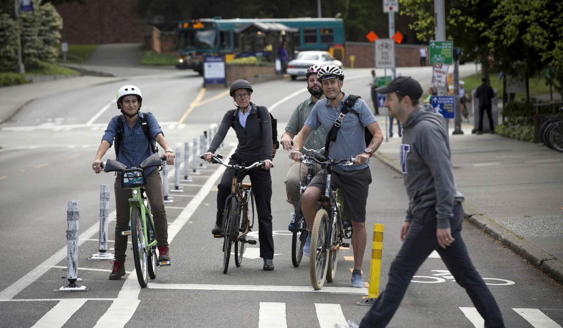
Increases in non-motorized travel support national and state transportation goals to reduce vehicle miles traveled and associated greenhouse gas emissions and to ease highway congestion. They also reflect national and local health directives to redress physical inactivity and obesity epidemics through active transport. However, pedestrians and bicyclists constitute the most vulnerable road users, and in fact, the proportion of pedestrians killed has increased since the 2008 recession from 12 percent to 14 percent of all vehicle-related collisions. Therefore, tools to help identify locations with high risks of collisions between motor vehicles and pedestrians or bicyclists are essential to ensure that gains in mobility, air quality, and health are not accompanied by higher rates of injuries and fatalities.
Strikingly, while main street highways represent less than 10 percent of Washington’s State Route (highway) network, between 2010 and 2012, 60 percent of pedestrian and bicyclist collisions on State Routes and 30 percent of the fatalities resulting from those collisions occurred on MSHs. Those high collision and fatality rates were likely related to the comparatively high traffic volumes and high development densities concentrated along MSHs.
The goals of this project were to identify locations along MSHs that present high risk for the occurrence of pedestrian and bicyclist collisions and to determine the characteristics of those locations that are associated with high collision risk.
Accordingly, researchers developed methods to identify collision hot spots on MSHs. Hot spot analyses identify locations with high frequencies of collisions, which are potential candidates for road safety improvements, including efficient countermeasures for pedestrian and bike safety. Departments of transportation can focus on those zones to enhance traffic safety within their limited financial resources. Knowing the locations of collision hot spots can also guide law enforcement and safety policies and priorities.
The study also employed models to examine the effects that infrastructure, traffic, land-use, and built environment characteristics have on the risk of collision occurrence along MSHs. The models showed that intersections were more dangerous than mid-blocks. In addition, study results suggested that collisions were more likely to occur on wider roads, roads with bike lanes, and roads passing through low income and non-white neighborhoods. The risk of a collision occurring was also higher at intersections surrounded by land uses that attract pedestrian and bicycle activity.
In a tangential effort, the researchers conducted a first-of-its-kind inventory of collision data in Washington state from 2001 to 2012. The project tallied those collisions that had been geocoded (given geographical coordinates) and reported the various methods used for geocoding. The researchers found that more than 90 percent of motor vehicle collisions had been geocoded for 2010, 2011, and 2012, but only pedestrian and bicyclist collision—not collisions of solely motor vehicles—had been geocoded for the years between 2001 and 2009.
The results of this study can be used to guide and improve pedestrian and bicyclist safety measures. The hot spots detected in MSH zones will help transportation agencies prioritize the locations of future interventions to reduce the risk of collision. In addition, the researchers recommended that safety measures protecting pedestrians and bicyclists be applied to the types of roads and neighborhoods identified.
Authors:
Anne Vernez Moudon
Mingyu Kang
UW Department of Urban Design and Planning
Sponsors:
WSDOT
PacTrans
WSDOT Technical Monitor: Alan Soicher
WSDOT Project Manager: Jon Peterson