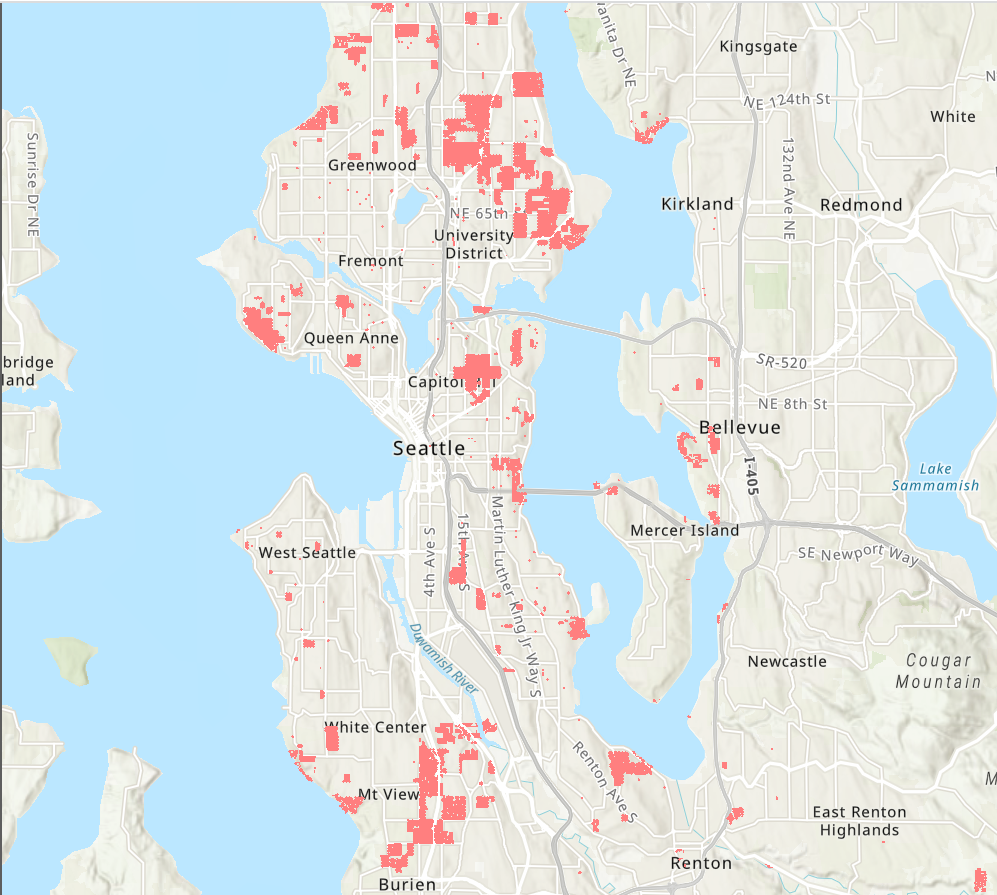
We have uncovered deeds and other documents containing restrictions that apply to more than 37,000 properties. Our work is not finished. Racial restrictions were imposed by many developers and neighborhood associations in the decades when they were legal prior to 1968. They remain part of property records today. The links below lead to six pages featuring different kinds of maps, lists, and information that show the prevalence and legacy of restrictive covenants in King County.
37,000 restricted parcels
This interactive map shows the exact location of properties that carried racial and sometimes religious restrictions. Search by address. Zoom to see restriction language.
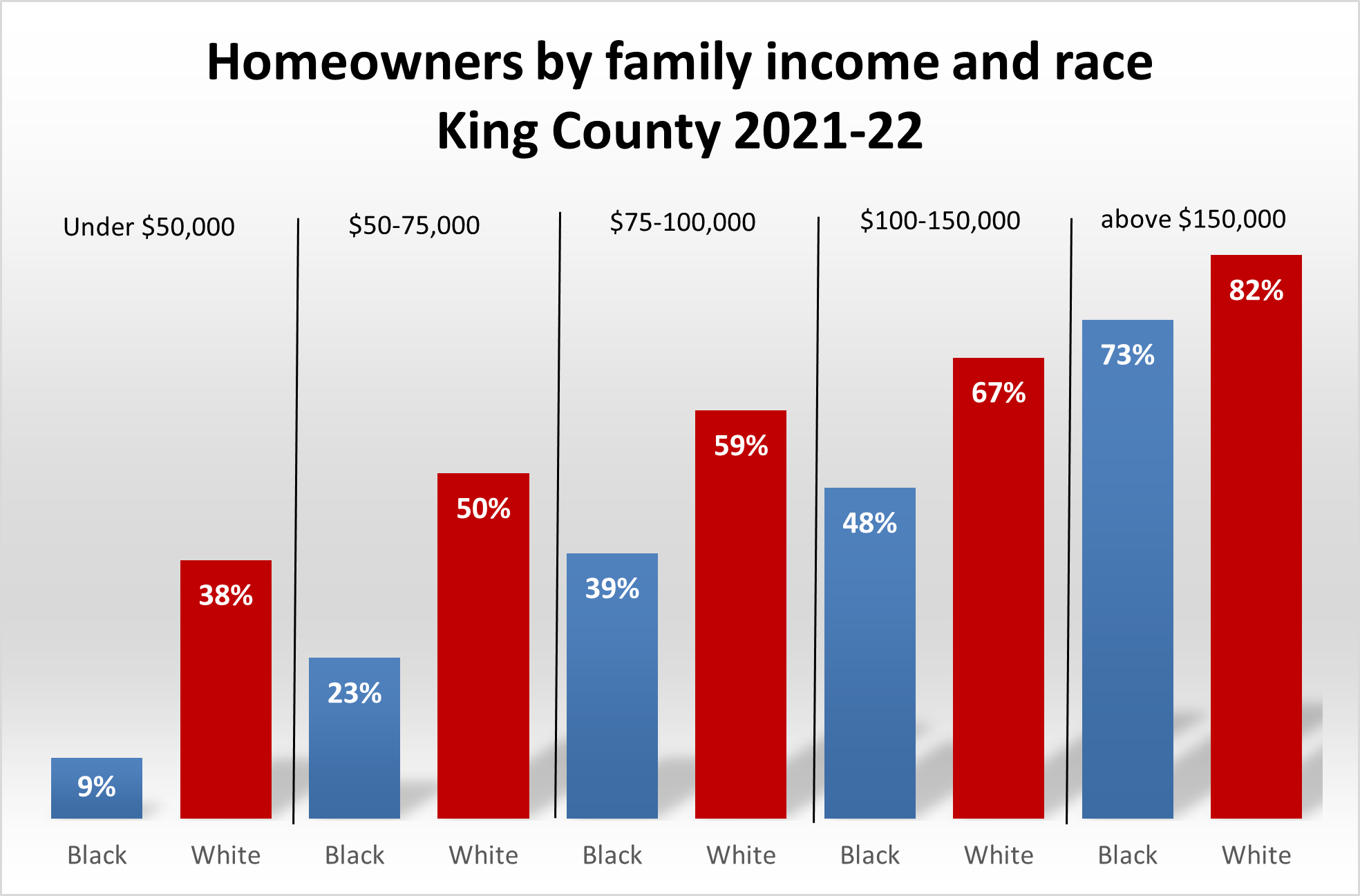
Homeownership by race 1970-2022
In 2022, 62% of White families were homeowners compared to only 28% of Black families. Here we track homeownership rates since 1970, showing the alarming disparity in the value of homes and ownership rates.

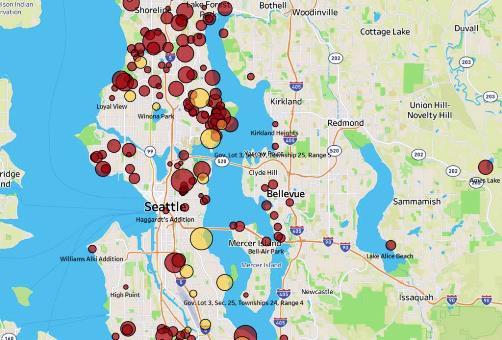
Race and segregation maps
1940-2020
Here we map the neighborhood-by-neighborhood distributions of Black, Asian, Indigenous, Latino, and White people across eight decades.
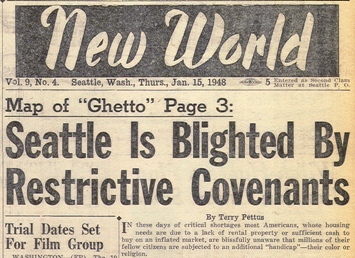
Restricted subdivisions (documents and data)
Download documents that restricted properties in 620 subdivisons and hundreds of neighborhoods. Scroll the list, read the language of restrictions, learn the names of the developers.
History of Seattle covenants
This report details the history of covenants in Seattle, highlighting key examples and charting both the legal and social enforcement of racial covenants and the struggles to prohibit them.
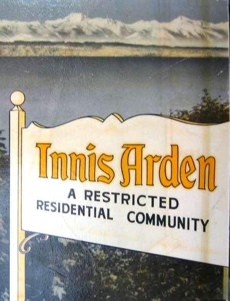
Notorious neighborhoods
Here we profile some of the aggressively segregated neighborhoods, that were proudly and notoriously labeled "RESTRICTED."