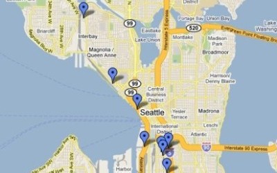
Here are the locations of eight shack towns that housed homeless people in the Seattle area in the 1930s. The largest, known as "Hooverville," was on Elliot Bay near the present site of Qwest stadium. Click to see this interactive google map and accompanying photos and descriptions of each site.
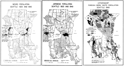
Here are interactive maps showing the residential distribution of African Americans, Asian Americans, Native Americans, and several other ethnic groups in Seattle, Tacoma, and Spokane decade by decade from 1940 to 2010.
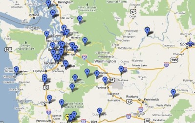
This interactive map shows the location of a selection of bridges, dams, highways, airports, and other major construction projects built by the Public Works Administration and the Works Progress Administration during the 1930s. Click the pins to see pictures and learn about projects Zoom closer using the google tools.
This interactive map shows the location of a selection of most of the Civilian Conservation Corps camps established in Washington State between 1933 and 1939. Click to see this map and accompanying photos and descriptions of each site.
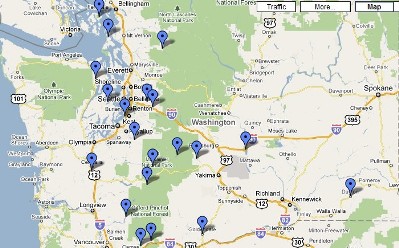
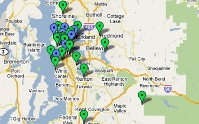
This interactive map shows the locations and photos of federally funded public works projects in King County in 1933 and 1934. Included are construction projects, food and clothing banks, park and landscaping work. Click to see this map and accompanying photos and descriptions of each site.
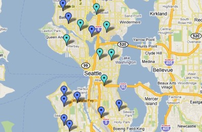
This interactive map shows the Seattle locations of the the Unemployed Citizens League which established self-help commissaries and demanded jobs and relief services for the unemployed. The politically powerful organization enrolled thousands of members from 1931-1934. Click to see this map and accompanying photos and descriptions of each site.