
This project has located more than 15,000 documents in western Washington counties covering more than 70,000 properties. Unfortunately we do not have the capacity to publish all of them on the University of Washington servers. Instead we have chosen sample documents for subdivisions (plats) that were most affected by restrictions in each county.
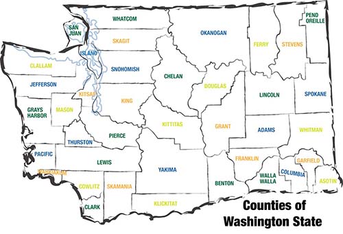
For purposes of filing modification forms, some of these documents will be sufficient. Find your county below and then consult the map to identify the subdivision/plat name. If the document associated with the plat is either a plat map or CCR (declaration of restrictions or covenants) it would have covered all parcels in the plat and should contain the information that county auditors require for filing a modification.
If the document is a deed, it will be an example of the kind of deeds we have found in that subdivision but will not have the recording number and recording date you will need. Instead you should follow the modification instructions here.
Documents for western Washington counties
Clark County
Cowlitz County
Island County
King County
Kitsap County
Mason County
Pierce County
Skagit County
Snohomish County
Thurston County
Whatcom County